Coralville in Johnson County, Iowa — The American Midwest (Upper Plains)
Mormon Handcart Brigade Camp
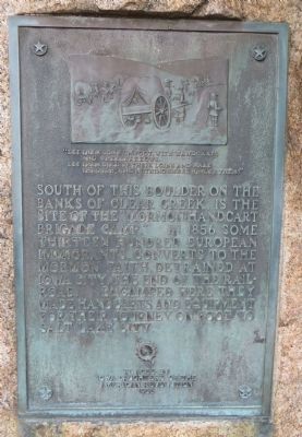
“Let them come on foot, with handcarts and wheelbarrows. Let then gird up their loins and walk through, and nothing shall hinder them.”
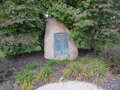
South of this boulder on the banks of Clear Creek, is the site of the “Mormon Handcart Brigade Camp.” In 1856 some thirteen hundred European immigrants, converts to the Mormon faith detrained at Iowa City, the end of the rail road. Encamped here they made handcarts and equipment for their journey on foot to Salt Lake City.
Erected 1936 by Iowa Daughters of the American Revolution.
Topics and series. This historical marker is listed in this topic list: Churches & Religion. In addition, it is included in the Daughters of the American Revolution series list. A significant historical year for this entry is 1856.
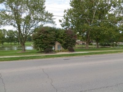
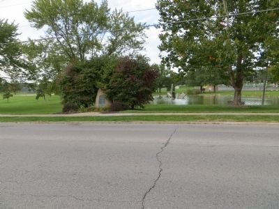
Location. 41° 40.719′ N, 91° 35.137′ W. Marker is in Coralville, Iowa, in Johnson County. Marker is on 5th Street, on the left when traveling east. Marker is in city park, across the street from 16845 5th Street. Touch for map. Marker is in this post office area: Coralville IA 52241, United States of America. Touch for directions.
Other nearby markers. At least 8 other markers are within 3 miles of this marker, measured as the crow flies. Samuel Jordan Kirkwood (approx. 0.9 miles away); The First State University to Admit Women on an Equal Basis with Men (approx. 2.8 miles away); Old Dental Building (approx. 2.8 miles away); Old Brick (approx. 2.8 miles away); The Old Stone Capitol (approx. 2.8 miles away); In Memoriam (approx. 2.8 miles away); The Old Capitol (approx. 2.8 miles away); Schaeffer Hall (approx. 2.9 miles away).
Related markers. Click here for a list of markers that are related to this marker.
Credits. This page was last revised on June 16, 2016. It was originally submitted on October 22, 2014, by Bill Kirchner of Tucson, Arizona. This page has been viewed 686 times since then and 33 times this year. Photos: 1, 2, 3, 4. submitted on October 22, 2014, by Bill Kirchner of Tucson, Arizona. • Andrew Ruppenstein was the editor who published this page.


