Annapolis in Anne Arundel County, Maryland — The American Northeast (Mid-Atlantic)
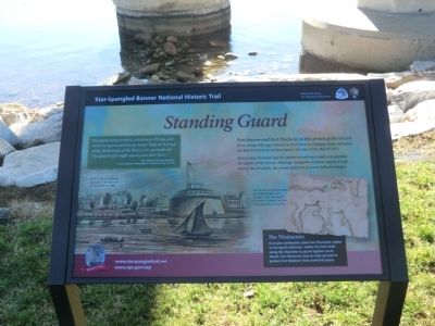
Standing Guard
Star-Spangled Banner National Historic Trail
— National Park Service, U.S. Department of the Interior —
Fort Severn and Fort Madison on this stretch of the Severn River, along with a gun battery at Horn Point in Eastport, made Annapolis the best-fortified city in Maryland at the start of the War of 1812.
British ships hovered near the harbor several times and even sounded the depths of the Severn. Although Annapolis residents stayed on high alert in fear of attack, the enemy opted for less well-defended targets.
[Caption:]
Fort Nonsense (approximate site highlighted) is not named in the 1814 sketch by William Tatham, but the note describes its location.
No Nonsense
A circular earthwork called Fort Nonsense added to Annapolis defenses. Unlike the forts built along the shoreline to guard against naval attack, Fort Nonsense was on high round to protect Fort Madison from overland access.
[Caption:]
The U.S. Naval Academy was built on the grounds of Fort Stevens in 1845. Fort or Battery Severn at Annapolis ca. 1860. Image/Pictorial Field-book of the War of 1812.
"Annapolis being fortified, a Station for Troops, and not to be approached by our larger Ships on Account of the Shallowness of the Water, it is…probable the Occupation of it might cost us some little Time…”
Rear Admiral George Cockburn to Vice Admiral Alexander F.I. Cochrane, July 17, 1814.
Erected by National Park Service, United States Department of the Interior.
Topics and series. This historical marker is listed in this topic list: War of 1812. In addition, it is included in the Star Spangled Banner National Historic Trail series list. A significant historical date for this entry is July 17, 1753.
Location. 38° 59.694′ N, 76° 29.064′ W. Marker is in Annapolis, Maryland, in Anne Arundel County. Marker is on Jonas Green Park Road. Touch for map. Marker is in this post office area: Annapolis MD 21409, United States of America. Touch for directions.
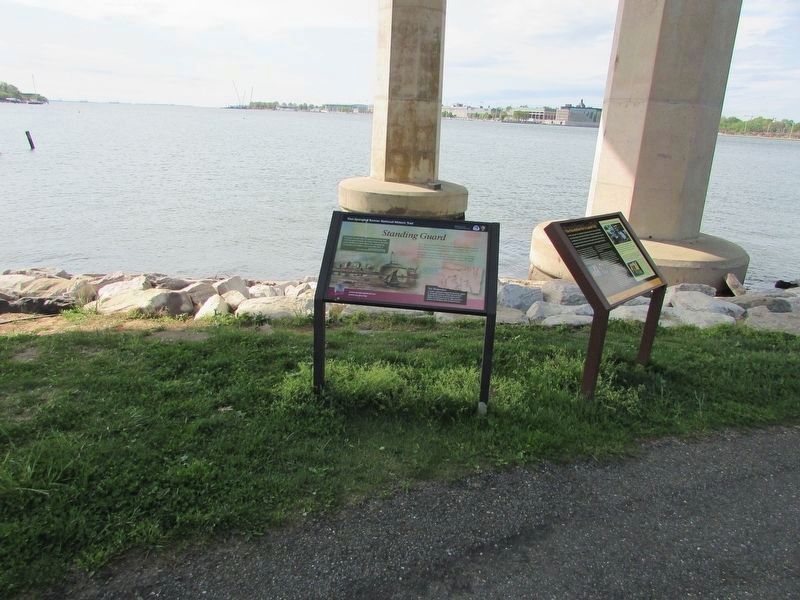
Other nearby markers. At least 8 other markers are within walking distance of this marker. Providence - 1649 (here, next to this marker); Jonas and Anne Catherine Green Park (within shouting distance of this marker); Oyster Reef (about 300 feet away, measured in a direct line); Maryland World War II Memorial (approx. ¼ mile away); Pearl Harbor Survivors Association (approx. ¼ mile away); Prisoner of War Memorial (approx. ¼ mile away); Albert Cabell Ritchie (approx. 0.3 miles away); Battle of the Severn (approx. 0.3 miles away). Touch for a list and map of all markers in Annapolis.
Credits. This page was last revised on September 13, 2023. It was originally submitted on December 27, 2014, by Don Morfe of Baltimore, Maryland. This page has been viewed 516 times since then and 21 times this year. Photos: 1, 2, 3, 4. submitted on December 27, 2014, by Don Morfe of Baltimore, Maryland. 5. submitted on May 1, 2023, by Bill Coughlin of Woodland Park, New Jersey. • Bill Pfingsten was the editor who published this page.


