Near Westmoreland in Pottawatomie County, Kansas — The American Midwest (Upper Plains)
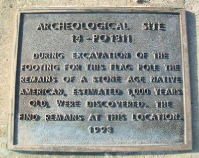
Archeological Site 14-PO1311
During excavation of the footing for this flag pole the remains of a Stone Age Native American, estimated 1,000 years old, were discovered. The find remains at this location.
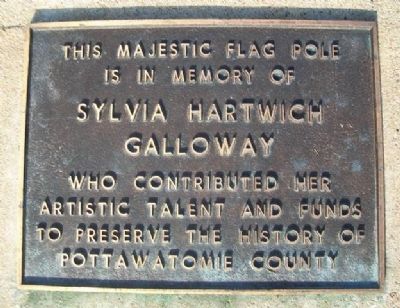
is in memory of
Sylvia Hartwich Galloway
who contributed her artistic talent
and funds to preserve the history of
Pottawatomie County
Erected 1993.
Topics. This historical marker is listed in these topic lists: Anthropology & Archaeology • Cemeteries & Burial Sites • Native Americans • Women.
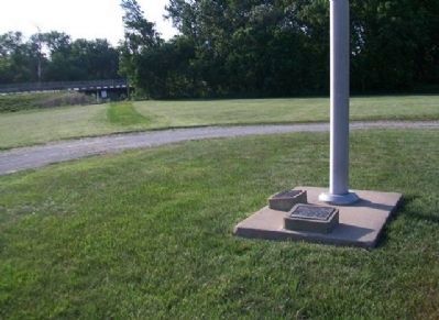
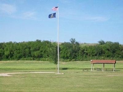
Location. 39° 23.013′ N, 96° 24.347′ W. Marker is near Westmoreland, Kansas, in Pottawatomie County. Marker is on The Road to Oz Highway (State Highway 99), on the left when traveling south. Markers are at the base of the flagpole in Oregon Trail Park. Touch for map. Marker is in this post office area: Westmoreland KS 66549, United States of America. Touch for directions.
Other nearby markers. At least 8 other markers are within walking distance of this marker. Route of the Oregon Trail (within shouting distance of this marker); The Wagon & Team • Supplies Needed (within shouting distance of this marker); One Step at a Time (within shouting distance of this marker); The Long Journey (within shouting distance of this marker); Wagons Fording Rock Creek (within shouting distance of this marker); Tallgrass Prairie (within shouting distance of this marker); Burial Site of Oregon Trail Traveler (about 300 feet away, measured in a direct line); Scott Spring (about 400 feet away). Touch for a list and map of all markers in Westmoreland.
Credits. This page was last revised on September 16, 2020. It was originally submitted on February 21, 2015, by William Fischer, Jr. of Scranton, Pennsylvania. This page has been viewed 403 times since then and 12 times this year. Photos: 1, 2, 3, 4. submitted on February 21, 2015, by William Fischer, Jr. of Scranton, Pennsylvania.


