Edmonton in Metcalfe County, Kentucky — The American South (East South Central)
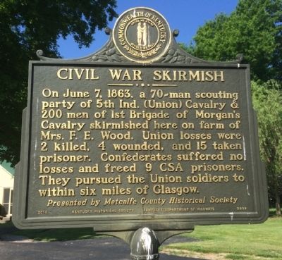
Civil War Skirmish
† Presented by Metcalfe County Historical Society
Erected 2010 by the Kentucky Historical Society, Kentucky Department of Highways. (Marker Number 2332.)
Topics and series. This historical marker is listed in this topic list: War, US Civil. In addition, it is included in the Kentucky Historical Society series list. A significant historical month for this entry is June 1743.
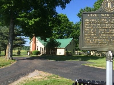
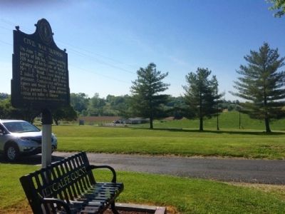
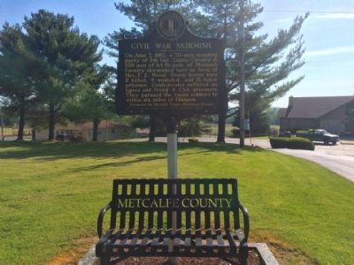
Location. 36° 59.34′ N, 85° 38.965′ W. Marker is in Edmonton, Kentucky, in Metcalfe County. Marker can be reached from West Stockton Street (U.S. 68) 0.1 miles east of Glasgow Street. Heading east on U.S. 68 (KY-80) take second driveway PAST last entrance to the Sav-A-Lot parking lot. At the top of the hill, on the driveway, marker is to the right. This area is part of the Bowling Community Park. Touch for map. Marker is at or near this postal address: 1684 US 68, Edmonton KY 42129, United States of America. Touch for directions.
Other nearby markers. At least 8 other markers are within 8 miles of this marker, measured as the crow flies. Rev. Robert Stockton (approx. 0.3 miles away); Robert Stockton (approx. 0.4 miles away); William Henry Newman (approx. 2.2 miles away); County Named, 1860 (approx. 2.2 miles away); Founder of Edmonton (approx. 2.2 miles away); Metcalfe County War Memorial (approx. 2.2 miles away); Dripping Springs (approx. 4.7 miles away); Discovery of Sulphur Well / Beula Villa Hotel (approx. 7.8 miles away). Touch for a list and map of all markers in Edmonton.
Credits. This page was last revised on June 16, 2016. It was originally submitted on May 18, 2015, by Mark Hilton of Montgomery, Alabama. This page has been viewed 576 times since then and 27 times this year. Photos: 1, 2, 3, 4. submitted on May 18, 2015, by Mark Hilton of Montgomery, Alabama.


