Bridgeport in Jackson County, Alabama — The American South (East South Central)
Bridgeport
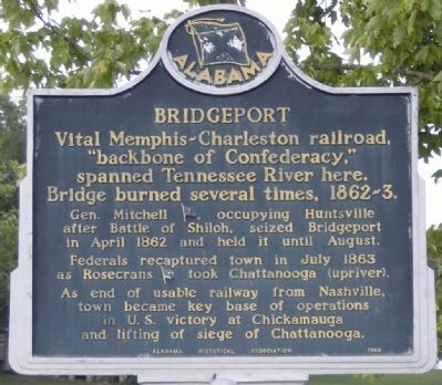
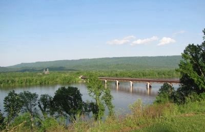
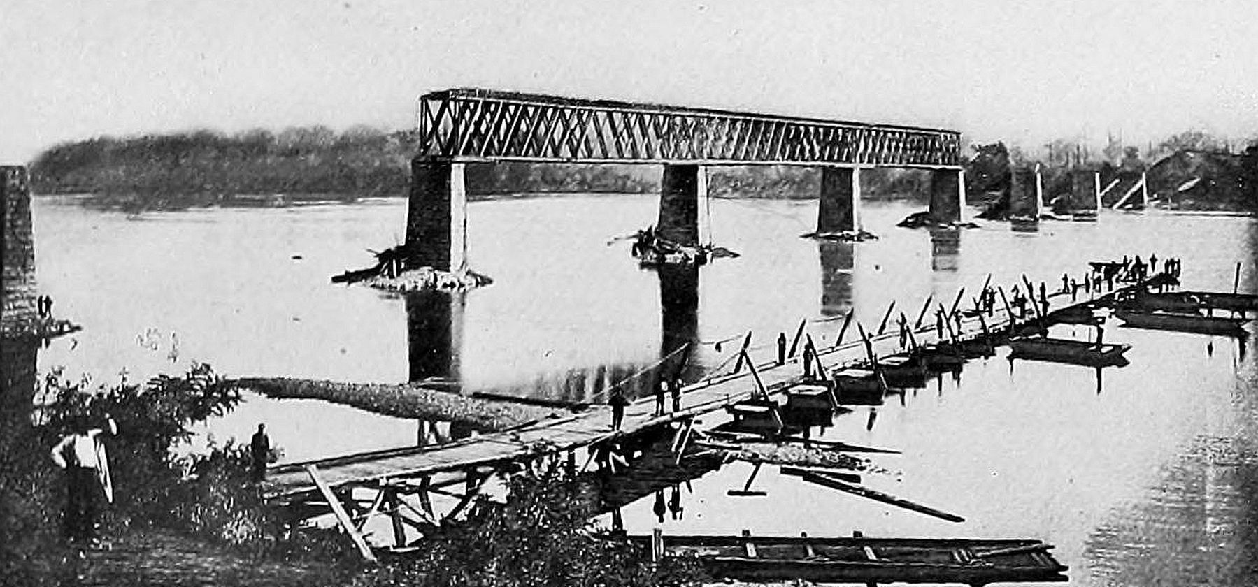
Vital Memphis-Charleston Railroad, "backbone of Confederacy", spanned Tennessee River here. Bridge burned several times, 1862-3.
Gen. Mitchell (US), occupying Huntsville after Battle of Shiloh, seized Bridgeport in April 1862 and held it until August.
Federals recaptured town in July 1863 as Rosecrans (US) took Chattanooga (upriver).
As end of usable railway from Nashville, town became key base of operations in U.S. victory at Chickamauga and lifting of siege of Chattanooga.
Erected 1965 by Alabama Historical Society.
Topics. This historical marker is listed in these topic lists: Bridges & Viaducts • Railroads & Streetcars • War, US Civil. A significant historical month for this entry is April 1862.
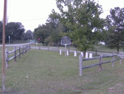
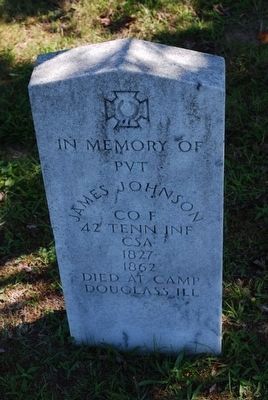
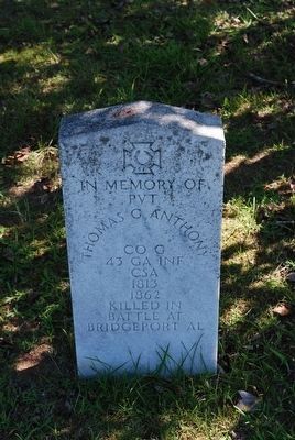
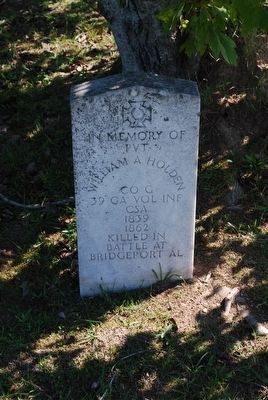
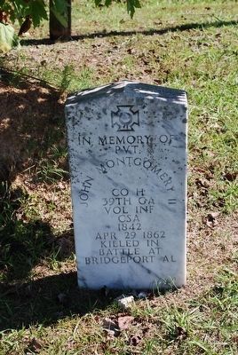
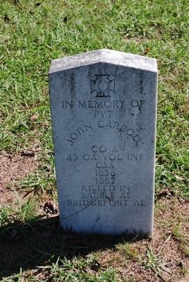
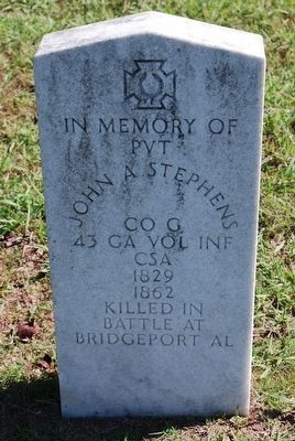
Location. 34° 56.785′ N, 85° 43.526′ W. Marker is in Bridgeport, Alabama, in Jackson County. Marker is at the intersection of Alabama Route 227 and Busbey Ave, on the right when traveling north on State Route 227. Near the base of the marker stands six memorial markers for Confederate soldiers. Touch for map. Marker is in this post office area: Bridgeport AL 35740, United States of America. Touch for directions.
Other nearby markers. At least 8 other markers are within 5 miles of this marker, measured as the crow flies. In Rememberance of Those Who Served (approx. 0.8 miles away); Trail of Tears (approx. 1.3 miles away); Rocky Springs Church of Christ (approx. 1.6 miles away); a different marker also named Trail of Tears (approx. 2.4 miles away); Birthplace of Jobyna Lancaster Ralston-Arlen (approx. 4.7 miles away in Tennessee); Christmas Night Shootout (approx. 4.7 miles away in Tennessee); James Thomas Fitz-Gerald, Jr. (approx. 4.7 miles away in Tennessee); Marion Post No. 62 (approx. 4.7 miles away in Tennessee). Touch for a list and map of all markers in Bridgeport.
Regarding Bridgeport. The marker text "...U.S. victory at Chickamauga and lifting siege of Chattanooga" might be interpreted as implying a Union victory at Chickamauga. I believe the intent here is to indicate the vital role that Bridgeport played in the ultimate Union success at Chatanooga, following the setback at Chickamauga.
Battles for Chattanooga timeline: (Jul) Confederates withdraw from Tullahoma to Chattanooga; (Aug) Federals maneuver to outskirts of Chattanooga; (Sep) Federals occupy Chattanooga following Confederate evacuation; (Sep) Battle of Chickamauga (Confederate victory) and "siege" of Chattanooga; (Oct) Federal Cracker Line relieves troops occupying Chattanooga; (Nov) Battle of Missionary Ridge (Federal victory) forces Confederate retreat into Georgia.
Also see . . .
1. Bridgeport. "Encyclopedia of Alabama" entry (Submitted on November 28, 2020, by Larry Gertner of New York, New York.)
2. Battle of Chickamauga. The Battle of Chickamauga was fought Sept. 19–20, 1863, and marked the end of a Union offensive in southeastern TN and northwestern GA called the Chickamauga Campaign. The battle was the most significant Union defeat in the Western Theater of the American Civil War and involved the second highest number of casualties in the war following the Battle of Gettysburg. (Submitted on April 4, 2015, by Byron Hooks of Sandy Springs, Georgia.)
3. Chattanooga Campaign. The Chattanooga Campaign was a series of maneuvers and battles in October and November 1863. (Submitted on April 4, 2015, by Byron Hooks of Sandy Springs, Georgia.)
Credits. This page was last revised on November 28, 2020. It was originally submitted on October 9, 2008, by David Tibbs of Resaca, Georgia. This page has been viewed 3,799 times since then and 64 times this year. Last updated on May 28, 2015, by J. Makali Bruton of Accra, Ghana. Photos: 1, 2. submitted on October 9, 2008, by David Tibbs of Resaca, Georgia. 3, 4. submitted on May 7, 2010, by Lee Hattabaugh of Capshaw, Alabama. 5, 6, 7, 8, 9, 10. submitted on August 31, 2015, by Brandon Fletcher of Chattanooga, Tennessee. 11. submitted on November 28, 2020, by Larry Gertner of New York, New York. • Bill Pfingsten was the editor who published this page.
