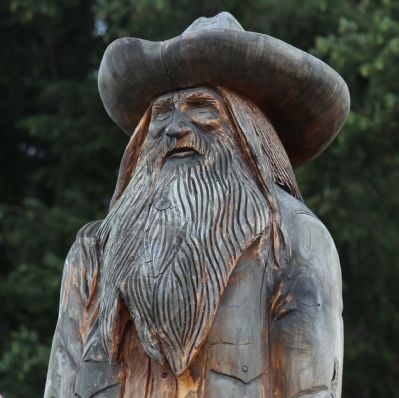
Packwood
“New Deal” Skills Proved Fruitful for Lumber Industry
— Lewis County —
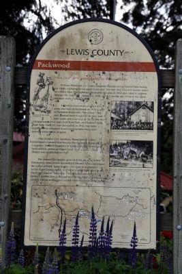
William Packwood and James Longmire traveled across Naches Pass during the 1840s exploring for an easier route east. The trail they blazed is known today as Cowlitz Pass. The explorers discovered this area in 1854 and called it Sulphur Springs; the name was changed to Lewis in 1911, but by the 1930s it was again renamed and called Packwood.
A Civilian Conservation Corps (CCC) camp was built at Packwood in 1933 as part of President Roosevelt’s “New Deal.“ The men planted trees, fought forest fires and built roads and structures at the La Wis Wis Campground, Lewis and Clark State Park, and Rainbow Falls State Park. The CCC was dismantled in 1942, but many enrollees who remained found employment using skills learned while in the program.
Two of these CCC enrollees, Henry and Wes Kerr, established a sawmill that became the Packwood Lumber Company. The mill supplied the town with electricity from hydroelectric plants on Hager Creek until a Public Utility District was established in 1949.
The demand for lumber grew with the onset of World War II. Fortunately, new owners modernized the mill to accommodate the influx of work. Large timber sales went to companies in the Puget Sound region, but many smaller sales went to the Packwood Lumber Company. The company continues to produce lumber that is shipped
worldwide. Today Packwood attracts visitors seeking year-round outdoor recreation activities.Erected by Lewis County Commissioners, Washington State Department of Transportation, US Forest Service and the Lewis County Historical Society, in honor of Lewis County’s Sesquicentennial.
Topics and series. This historical marker is listed in these topic lists: Charity & Public Work • Exploration • Industry & Commerce. In addition, it is included in the Civilian Conservation Corps (CCC) series list. A significant historical year for this entry is 1854.
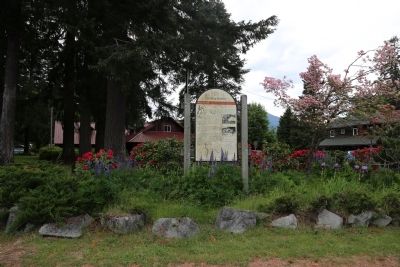
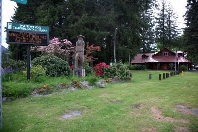
Location. 46° 36.37′ N, 121° 40.284′ W. Marker is in Packwood, Washington, in Lewis County. Marker is at the intersection of U.S. 12 and Main Street, on the right when traveling west on U.S. 12. It is in front of the Packwood Timberland Library. Touch for map. Marker is in this post office area: Packwood WA 98361, United States of America. Touch for directions.
Other nearby markers. At least 5 other markers are within 13 miles of this marker, measured as the crow flies. The Palisades are Clues to the Past (approx. 7.9 miles away); Traveling Over the Cascades: Past and Present (approx. 7.9 miles away); An Ancient Community (approx. 12.8 miles away); Paradise Inn (approx. 12.8 miles away); Inspired to Preserve (approx. 13 miles away).
More about this marker. An illustration by Roger Cooke of an explorer on hoseback is on the upper left side of the marker.Two photographs are on the right side of the marker, captioned: “Civilian Conservation Corps camp workers circa 1930s.” and “Before trucks, limber was hauled by pack animals, circa 1900s.”. At the bottom of the marker is a map of Lewis County showing major roads and locations of other markers like this one. This marker is the easternmost.
Also see . . . Wikipedia entry for Packwood. “The name Packwood, used for the town, a mountain pass, and a lake, honors William Packwood, a Virginian pioneer and explorer of Oregon and Washington. Packwood and James Longmire, were tasked by the Washington Territorial Legislature to chart a low pass over the Cascade Mountains, this necessitated by the deaths of several delegates in their journey to the first legislative session. As a mark of their successes in this venture, the charted pass—called the Packwood Saddle—is still unused by any road, trail, or other conveyance to pass between the east and west sides of the Cascades.” (Submitted on June 16, 2015.)
Credits. This page was last revised on June 16, 2016. It was originally submitted on June 16, 2015, by J. J. Prats of Powell, Ohio. This page has been viewed 781 times since then and 43 times this year. Photos: 1, 2, 3, 4, 5. submitted on June 16, 2015, by J. J. Prats of Powell, Ohio.
