Story in Sheridan County, Wyoming — The American West (Mountains)
To Save the Powder River Country
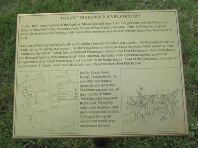
In July, 1867, many Lakotas of the Ogalala, Miniconjou and Sans Arc tribes gathered with the Cheyennes along the Rosebud Valley to participate in the sacred Sun Dance ceremony. After fulfilling the religious duties, the headmen and fighting chiefs turned their attention once more to warfare against the Bozeman Trail Forts.
One year of fighting had failed to drive the soldiers from the Powder River country. Small groups of warrior struck during the spring and summer, but there had been no victory to equal the winter battle known as “One Hundred in the Hands,” which had annihilated Fetterman’s soldiers near Fort Phil Kearny. Now, with almost one thousand fighting men concentrated on the Rosebud, the Indian leaders planned another great battle. Disagreement over which fort to attack led to a split in the Indian forces. Most of the Cheyennes would go to attack Fort C. F. Smith, while the Lakota and some Cheyenne chose Fort Phil Kearny.
Led by Crazy Horse, Hump, Thunderhawk, Ice and other war leaders, hundreds of Lakota and Cheyenne warriors rode to their destiny in battle. Traveling with them were Red Cloud, Flying By, other older headmen, and many women and children. All hoped for a great victory that would save and protect the land.
Topics. This historical marker is listed in this topic list: Wars, US Indian . A significant historical month for this entry is July 1867.
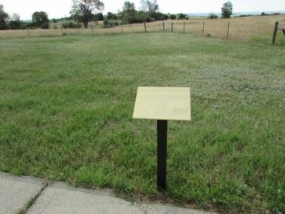
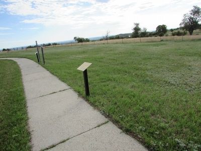
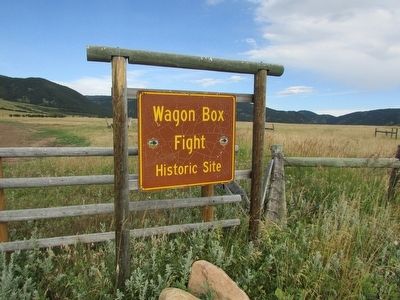
Location. 44° 33.514′ N, 106° 53.893′ W. Marker is in Story, Wyoming, in Sheridan County. Marker can be reached from Wagon Box Road. Marker is located on a walking trail at the Wagon Box Fight Historic Site. Touch for map. Marker is in this post office area: Story WY 82842, United States of America. Touch for directions.
Other nearby markers. At least 8 other markers are within walking distance of this marker. Wood Cutting: A Hazardous Harvest (a few steps from this marker); Red Cloud’s Victory (a few steps from this marker); The Wagon Box Fight: Continuing Controversies (a few steps from this marker); The Battle, August 2, 1867 (a few steps from this marker); The Aftermath: Two Versions of Victory (a few steps from this marker); A Fight to Survive (a few steps from this marker); Valor in Attack (within shouting distance of this marker); Wagon Box Monument (within shouting distance of this marker). Touch for a list and map of all markers in Story.
More about this marker. A map of the Northern Plains in 1867 is on the left side of the marker. It shows the location of Forts, Indian Camps, battle sites and the route of the Bozeman Trail. A picture of the Indian march from Rosebud Creek appears on the bottom right of the marker.
Related markers. Click here for a list of markers that are related to this marker. See all of the markers found on the Wagon Box Fight walking trail.
Credits. This page was last revised on June 16, 2016. It was originally submitted on August 18, 2015, by Bill Coughlin of Woodland Park, New Jersey. This page has been viewed 330 times since then and 18 times this year. Photos: 1, 2, 3, 4. submitted on August 18, 2015, by Bill Coughlin of Woodland Park, New Jersey.


