Near Catharpin in Prince William County, Virginia — The American South (Mid-Atlantic)
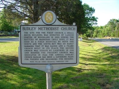
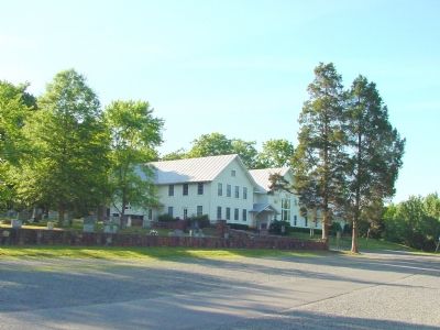
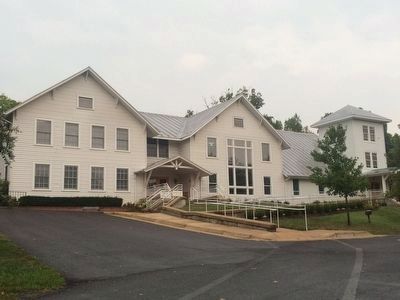
Sudley Methodist Church
Erected 1983 by the Prince William County Historical Commission. (Marker Number 60.)
Topics and series. This historical marker is listed in these topic lists: Churches & Religion • War, US Civil. In addition, it is included in the Virginia, Prince William County Historical Commission series list. A significant historical year for this entry is 1822.
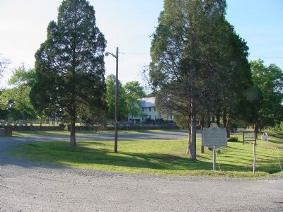
Location. 38° 50.38′ N, 77° 32.259′ W. Marker is near Catharpin, Virginia, in Prince William County. Marker is on Sudley Road (Virginia Route 234) 1.6 miles north of Lee Highway, formerly Warrenton Turnpike (U.S. 29), on the left when traveling north. Touch for map. Marker is at or near this postal address: 5308 Sudley Road, Catharpin VA 20143, United States of America. Touch for directions.
Other nearby markers. At least 10 other markers are within walking distance of this marker. Sudley Church (about 300 feet away, measured in a direct line); Sudley (about 300 feet away); Battling for the Rocky Knoll (about 300 feet away); “The Unfinished Railroad” (about 400 feet away); A Debt Repaid (about 400 feet away); Sudley Springs (about 600 feet away); Field Hospital (approx. 0.2 miles away); Thornberry House (approx. 0.2 miles away); Sudley Springs Ford (approx. 0.2 miles away); a different marker also named Sudley Springs Ford (approx. 0.2 miles away).
Related markers. Click here for a list of markers that are related to this marker. Sudley Springs Markers related to First Manassas
Also see . . . History of Sudley – Church in a Horseshoe Curve. (Submitted on February 27, 2007.)
Credits. This page was last revised on June 16, 2016. It was originally submitted on February 27, 2007, by J. J. Prats of Powell, Ohio. This page has been viewed 2,367 times since then and 37 times this year. Photos: 1, 2, 3. submitted on February 27, 2007, by J. J. Prats of Powell, Ohio. 4. submitted on September 11, 2015, by J. Makali Bruton of Accra, Ghana.


