Ivel in Floyd County, Kentucky — The American South (East South Central)
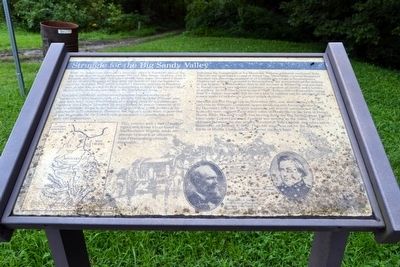
Struggle for the Big Sandy Valley
This pro-Confederate activity caused genuine concern at the newly established Union headquarters in Louisville. Colonel John Williams’ plan may have been to use Prestonsburg as a staging point for a Confederate advance into Central Kentucky. By mid-October, he was in command of all the Confederate troops in the region and was drilling 1,000 soldiers at his camp north of Prestonsburg. However, the region’s roads were so poor that it was impossible for the Confederate government to provide him with arms and ammunition.
This, coupled with a lack of support from Confederate forces based in Southwestern Virginia, made any attempt to launch an offensive from Prestonsburg virtually impossible.
Following the engagement at Ivy Mountain, Williams retreated southward from Pikeville and established a camp at Pound Gap. Meanwhile, General Humphrey Marshall was placed in command of all Confederate troops in Southwestern Virginia and ordered to proceed to Prestonsburg “for the protection and defense of that frontier.” On November 26th he left his base at Wytheville and marched to Pound Gap with two infantry regiments, a regiment of cavalry, and a battery of artillery. By this time Union General “Bull” Nelson had evacuated his troops from the region, reasoning that his foe’s lack of supplies and the lateness of the season made a Confederate counter-attack unlikely.
Marshall reached Pound Gap on November 28th, and, after issuing rifles and uniforms to Williams’ command, began advancing into Eastern Kentucky. By December 22nd his Virginia regiments and several companies of the 5th Kentucky were camped three miles south of Paintsville on the farm of Daniel Hager. While Marshall’s army was moving down the Big Sandy, a large Federal force under Colonel James A. Garfield was moving up the valley. The first skirmish between the two armies occurred at Tom’s Creek, two miles below Paintsville, on January 4, 1862. Thus the stage was set for the decisive Battle of Middle Creek, which occurred six days later.
Topics and series. This historical marker is listed in this topic list: War, US Civil. In addition, it is included in the Former U.S. Presidents: #16 Abraham Lincoln
series list. A significant historical month for this entry is October 1861.
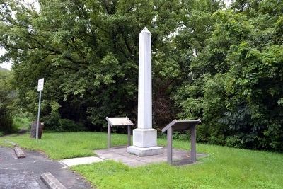
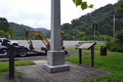
Location. 37° 35.592′ N, 82° 39.824′ W. Marker is in Ivel, Kentucky, in Floyd County. Marker is at the intersection of U.S. 23 and County Road 1032, on the right when traveling east on U.S. 23. Marker is at a pullout on the southwest side of US 23 across from its intersection with CR 1032. Touch for map. Marker is in this post office area: Ivel KY 41642, United States of America. Touch for directions.
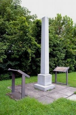
Other nearby markers. At least 8 other markers are within 8 miles of this marker, measured as the crow flies. The Battle of Ivy Mountain (here, next to this marker); a different marker also named The Battle of Ivy Mountain (here, next to this marker); Little Floyd (approx. 2 miles away); In Memory of the Lives We Lost on Friday February 28, 1958 (approx. 6.3 miles away); Leslie / Lesley Settlement (approx. 6.4 miles away); Snivley Chapel (approx. 6½ miles away); Ferguson Town Branch Ferry and Dock (approx. 7.8 miles away); Floyd County Veterans Memorial (approx. 7.9 miles away). Touch for a list and map of all markers in Ivel.
More about this marker. At the right bottom, the marker includes portraits of Colonel James A. Garfield who would be elected twentieth President of the United States in 1881, and General Humphrey Marshall.
Also see . . . Big Sandy Expedition - Wikipedia entry. (Submitted on August 29, 2015.)
Credits. This page was last revised on November 2, 2023. It was originally submitted on August 29, 2015. This page has been viewed 588 times since then and 35 times this year. Last updated on October 25, 2023. Photos: 1, 2, 3, 4. submitted on August 29, 2015, by Duane Hall of Abilene, Texas. • James Hulse was the editor who published this page.


