Shell in Big Horn County, Wyoming — The American West (Mountains)
A 4,000 Mile Journey
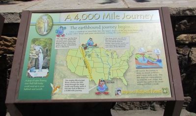
Say “goodbye” to the drop as it rolls over Shell Falls. Heading west, it joins the Bighorn River, then flows north into the Yellowstone River in Montana.
The drop meets up with the Missouri River somewhere near the North Dakota border, then heads south and east touring the farmlands and cities of the Midwest.
The mighty Mississippi River carries the little drop through the deep south and finally spills it into the Gulf of Mexico – a 4,000-mile journey.
Of course, the journey is rarely so simple or direct – and it never really ends. The little drop has many choices as it travels over, under, and around the earth in the never-ending Water Cycle.
A drop of water flowing over Shell Falls today could wind up in your bathtub next month.
Erected by Bighorn National Forest.
Topics. This historical marker is listed in this topic list: Waterways & Vessels.
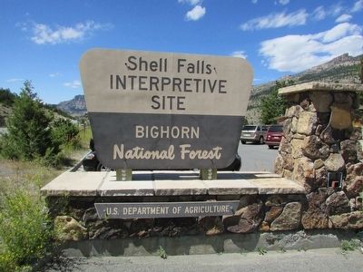
Location. 44° 35.206′ N, 107° 36.892′ W. Marker is in Shell, Wyoming, in Big Horn County . Marker can be reached from U.S. 14, on the right when traveling west. Marker is located in the Shell Falls Interpretive Site in Bighorn National Forest. Touch for map. Marker is in this post office area: Shell WY 82441, United States of America. Touch for directions.
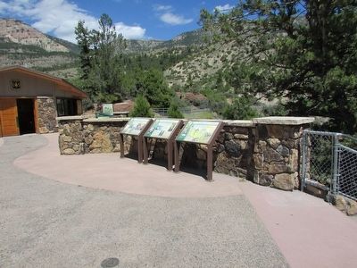
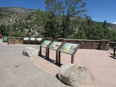
Other nearby markers. At least 8 other markers are within walking distance of this marker. Forming Waterfalls (here, next to this marker); Shaping a Canyon (here, next to this marker); Oasis in the Desert (a few steps from this marker); Lifeblood of the West (a few steps from this marker); Hummingbirds (a few steps from this marker); Carving a Course (a few steps from this marker); Moving Mountains (within shouting distance of this marker); Wringing Out a Livelihood (about 400 feet away, measured in a direct line). Touch for a list and map of all markers in Shell.
More about this marker. The marker contains a map that shows the route that a drop of water would take from the Big Horn Mountains to the Gulf of Mexico.
Credits. This page was last revised on June 16, 2016. It was originally submitted on September 4, 2015, by Bill Coughlin of Woodland Park, New Jersey. This page has been viewed 348 times since then and 8 times this year. Photos: 1, 2, 3, 4. submitted on September 4, 2015, by Bill Coughlin of Woodland Park, New Jersey.


