Evansville in Vanderburgh County, Indiana — The American Midwest (Great Lakes)
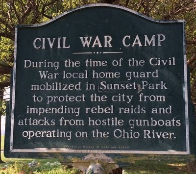
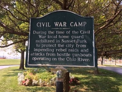
Civil War Camp
Erected by Evansville Museum of Arts and Science.
Topics. This historical marker is listed in these topic lists: War, US Civil • Waterways & Vessels.
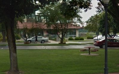
Location. 37° 57.969′ N, 87° 34.408′ W. Marker is in Evansville, Indiana, in Vanderburgh County. Marker can be reached from the intersection of Southeast Riverside Drive and Cherry Street. Located within the grounds of the visitors center - The Pagoda. Touch for map. Marker is at or near this postal address: 401 Southeast Riverside Drive, Evansville IN 47713, United States of America. Touch for directions.
Other nearby markers. At least 8 other markers are within walking distance of this marker. In Victorian Splendor (a few steps from this marker); Evansville's World War II Effort (about 500 feet away, measured in a direct line); Ohio River Levee (about 600 feet away); McCurdy Hotel (approx. 0.2 miles away); Home of Matthew W. Foster (approx. 0.3 miles away); Wabash and Erie Canal (approx. 0.4 miles away); Albion Fellows Bacon (approx. 0.4 miles away); YWCA (approx. 0.4 miles away). Touch for a list and map of all markers in Evansville.
Credits. This page was last revised on June 16, 2016. It was originally submitted on September 24, 2015, by Mark Hilton of Montgomery, Alabama. This page has been viewed 592 times since then and 34 times this year. Photos: 1, 2, 3. submitted on September 24, 2015, by Mark Hilton of Montgomery, Alabama.


