Near Animas in Hidalgo County, New Mexico — The American Mountains (Southwest)
Historical Marker No. 7
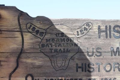
U.S. Mormon Battalion Trail
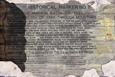
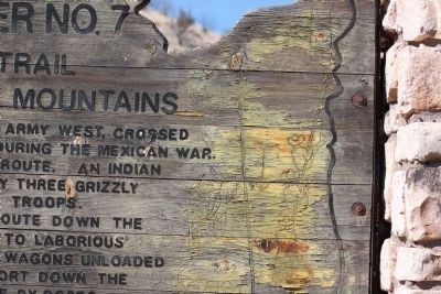
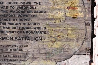
Lt. Stoneman with 21 men could not find a suitable route down the mountain. They began cutting a road but the task was to laborious and the progress slow. Col. Cooke then ordered the wagons unloaded and the supplies packed on horses and the mules for transport down the mountain. The wagons were lowered down the 40% grade by ropes. One wagon crashed to the canyon bottom. Henry Bigler wrote, "no other man but Cooke would attempt to cross wagons at such a place. Cooke had the spirit of a Bonaparte".
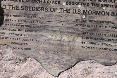
Wagon being lowered down steep slope with ropes
Col. Fred M. Reese - C&CH US Mormon Battalion
Project Supervisors - Marvin E. Follet and Ralph Mangum
Masonry - Denis Gregg
Sponsors - Douglas Boy Scouts
Scout Troupe 414
Lumber by Kiabab Lumber Inc. Artist - Ralph Reese Sign built and designed by Robin Button Thomas L. Kane Company
Erected 1986 by Col. Fred M. Reese - C&CH US Mormon Battalion, Douglas Boy Scouts and Scout Troupe 414. (Marker Number 7.)
Topics and series. This historical marker is listed in these topic lists: Exploration • Patriots & Patriotism • Roads & Vehicles • War, Mexican-American. In addition, it is included in the Mormon Battalion series list. A significant historical month for this entry is November 1863.
Location. 31° 30.628′ N, 109° 2.258′ W. Marker is near Animas, New Mexico, in Hidalgo County. Marker is on Geronimo Trail, 1˝ miles east of Arizona / New Mexico State line, on the right when traveling west. Touch for map. Marker is in this post office area: Rodeo NM 88056, United States of America. Touch for directions.
Other nearby markers. At least 1 other marker is within 14 miles of this marker, measured as the crow flies. Geronimo Surrender Monument (approx. 13.9 miles away in Arizona).
Additional commentary.
1.
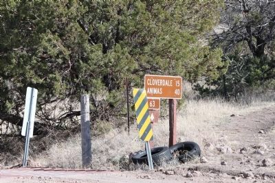
Since this marker was placed in 1986, further research has proven that the Battalion actually passed further south. The actual location of the Battalion on 28 November 1846 was at the mouth of a different canyon just north of Guadalupe Pass, 10.3 miles SSW of here, about 4.6 miles SW of Cloverdale, New Mexico.
Description from the Mormon Battalion Association, Map, Museums, and Trail Markers website.
— Submitted May 23, 2020, by Bill Kirchner of Tucson, Arizona.
Credits. This page was last revised on May 23, 2020. It was originally submitted on February 27, 2012, by James Nuti of Bisbee, Arizona. This page has been viewed 1,452 times since then and 40 times this year. Last updated on January 2, 2016, by Ltc Max W. Jamison of Lehi, Utah. Photos: 1, 2, 3, 4, 5, 6, 7, 8. submitted on February 27, 2012, by James Nuti of Bisbee, Arizona. • Andrew Ruppenstein was the editor who published this page.
