Metairie in Jefferson Parish, Louisiana — The American South (West South Central)
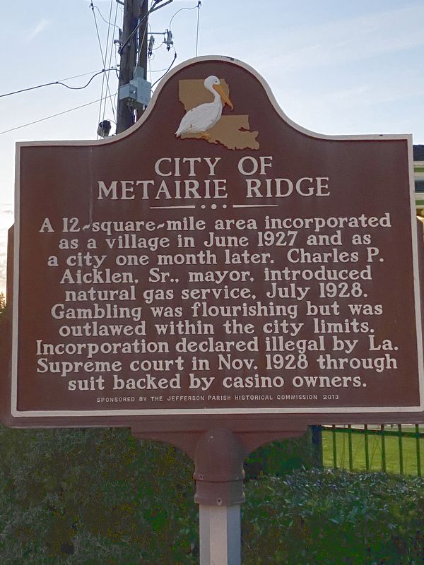
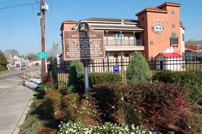
City Of Metairie Ridge
Erected 2013 by Jefferson Parish Historical Commission.
Topics. This historical marker is listed in this topic list: Settlements & Settlers. A significant historical month for this entry is June 1927.
Location. 29° 58.774′ N, 90° 7.521′ W. Marker is in Metairie, Louisiana, in Jefferson Parish. Marker is at the intersection of Metairie Road (Louisiana Route 611-9) and Orpheum Avenue, on the right when traveling west on Metairie Road. Touch for map. Marker is at or near this postal address: 101 Metairie Rd, Metairie LA 70005, United States of America. Touch for directions.
Other nearby markers. At least 8 other markers are within walking distance of this marker. Chartier Concession (within shouting distance of this marker); General John Bell Hood, CSA (approx. 0.3 miles away); William Charles Cole Claiborne (approx. half a mile away); Metairie Cemetery (approx. 0.6 miles away); a different marker also named Metairie Cemetery (approx. 0.7 miles away); Jefferson Parish (approx. 0.7 miles away); The New Orleans Katrina Memorial (approx. 0.9 miles away); Charity Hospital Cemetery (approx. 0.9 miles away).
Credits. This page was last revised on March 13, 2022. It was originally submitted on April 2, 2016. This page has been viewed 670 times since then and 80 times this year. Photos: 1. submitted on March 11, 2022, by Darren Jefferson Clay of Duluth, Georgia. 2. submitted on April 2, 2016. • Bernard Fisher was the editor who published this page.

