Near Conway in Faulkner County, Arkansas — The American South (West South Central)
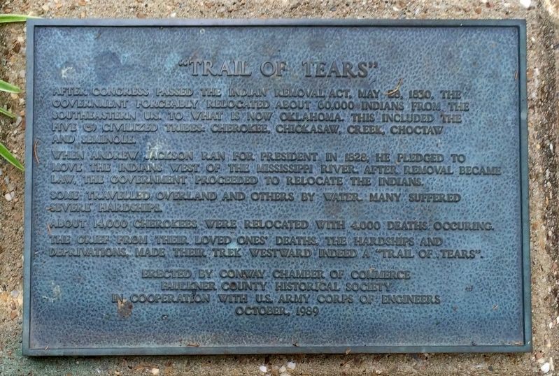
"Trail of Tears"
When Andrew Jackson ran for president in 1828, he pledged to move the Indians west of the Mississippi River. After removal became law, the government proceeded to relocate the Indians.
Some traveled overland and others by water. Many suffered severe hardships.
About 14,000 Cherokees were relocated with 4,000 deaths occurring. The grief from their loved one’s deaths, the hardships, and deprivations, made their trek westward indeed a “Trail of Tears”.
Erected 1989 by Conway Chamber of Commerce, Faulkner County Historical Society, U.S. Army Corps of Engineers.
Topics and series. This historical marker is listed in these topic lists: Native Americans • Notable Events. In addition, it is included in the Former U.S. Presidents: #07 Andrew Jackson, and the Trail of Tears series lists. A significant historical date for this entry is May 28, 1830.
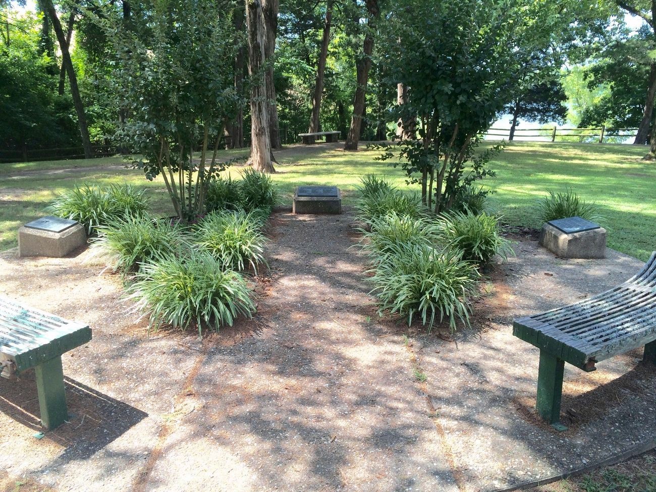
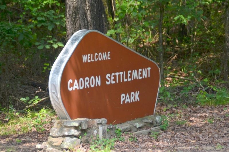
Location. 35° 6.236′ N, 92° 32.696′ W. Marker is near Conway, Arkansas, in Faulkner County. Marker can be reached from State Highway 319, 0.1 miles west of Cadron Settlement Lane. Located inside Cadron Settlement Park. Touch for map. Marker is at or near this postal address: 6200 Hwy 319 West, Conway AR 72034, United States of America. Touch for directions.
Other nearby markers. At least 8 other markers are within 6 miles of this marker, measured as the crow flies. Cherokee Memorial (here, next to this marker); Lt. Joseph W. Harris, U.S.A. (here, next to this marker); Cadron Blockhouse (here, next to this marker); Cadron in the Civil War (a few steps from this marker); 450th Commemoration De Soto Expedition (about 400 feet away, measured in a direct line); Faulkner County (approx. 5.9 miles away); Conway Confederate Monument (approx. 5.9 miles away); Faulkner County Veterans Memorial (approx. 5.9 miles away). Touch for a list and map of all markers in Conway.
Related marker. Click here for another marker that is related to this marker.
Additional keywords. Forced removal, genocide
Credits. This page was last revised on August 4, 2020. It was originally submitted on September 18, 2016, by Mark Hilton of Montgomery, Alabama. This page has been viewed 1,038 times since then and 83 times this year. Photos: 1, 2, 3. submitted on September 18, 2016, by Mark Hilton of Montgomery, Alabama.


