Eagle River in Keweenaw County, Michigan — The American Midwest (Great Lakes)
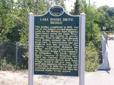
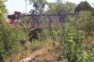
Lake Shore Drive Bridge / Eagle River
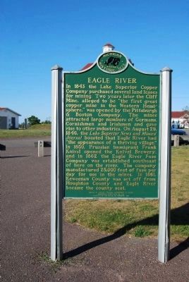
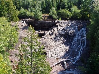
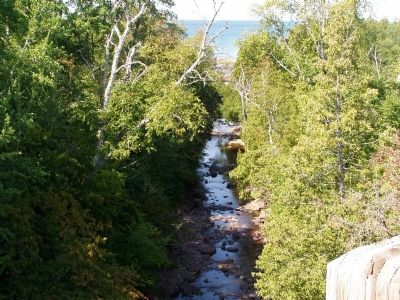
Eagle River. In 1843 the Lake Superior Copper Company purchased several land leases for mining. Two years later the Cliff Mine, alleged to be “the first great copper mine in the Western Hemisphere,” was opened by the Pittsburgh & Boston Company. The mines attracted large numbers of Germans, Cornishmen and Irishmen and gave rise to other industries. On August 29, 1846, the Lake Superior News and Miners’ Journal boasted that Eagle River had “the appearance of a thriving village.” In 1850, Prussian immigrant Frank Knivel opened the Knivel Brewery, and in 1862 the Eagle River Fuse Company was established southeast of here on the river. The company manufactured twenty-five thousand feet of fuse per day for use in the mines. In 1861, Keweenaw County was set off from Houghton County and Eagle River became the county seat.
Erected 1991. (Marker Number S0613.)
Topics and series. This historical marker is listed in these topic lists: Bridges & Viaducts • Natural Features. In addition, it is included in the Michigan Historical Commission series list. A significant historical year for this entry is 1915.
Location. 47° 24.759′ N, 88° 17.798′ W. Marker is in Eagle River, Michigan, in Keweenaw County. Marker is at the intersection of State Highway 26 and 4th Street on State Highway 26. Touch for map. Marker is in this post office area: Mohawk MI 49950, United States of America. Touch for directions.
Other nearby markers. At least 8 other markers are within 5 miles of this marker, measured as the crow flies. Douglass Houghton (a few steps from this marker); Joseph Blight, Sr. (within shouting distance of this marker); Main Street Bridge Project (about 500 feet away, measured in a direct line); a different marker also named Douglass Houghton (approx. 0.2 miles away); Eagle River (approx. 0.2 miles away); New Snowfall Record 390.4 Inches (approx. 3.7 miles away); Sand Hills Lighthouse (approx. 3.7 miles away); Lake Superior (approx. 4.3 miles away). Touch for a list and map of all markers in Eagle River.
Also see . . . Eagle River. (Submitted on May 4, 2007.)
Additional commentary.
1. Lake Shore Drive Bridge/Eagle River
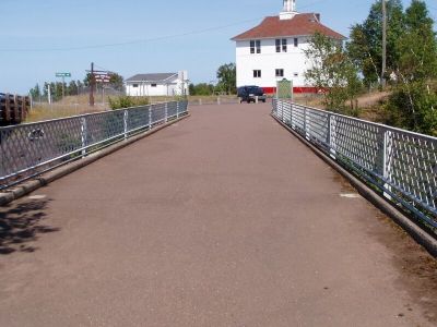
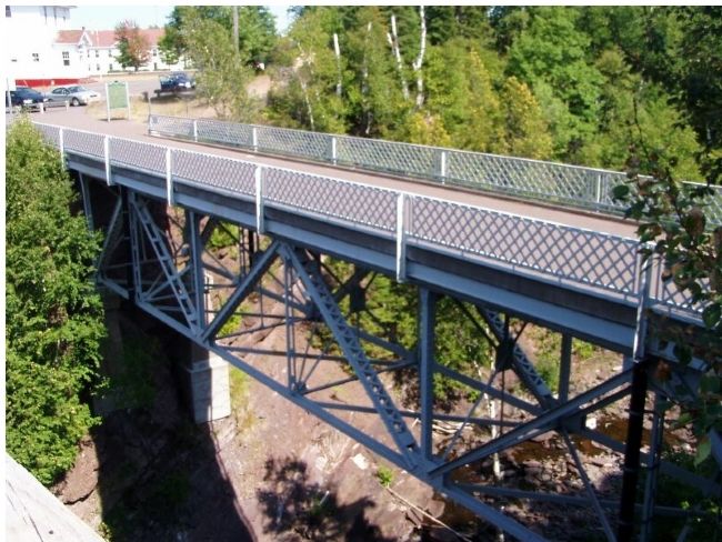
The marker indicates that this bridge, the "Lake Shore Drive Bridge", built 1915, was constructed simultaneously with the 'other' old bridge in Eagle River, what is known as the "Main Street Bridge" and which has been closed since circa 1999.
My impression is that it is unlikely that these two bridges were, in fact, built "simultaneously".
There is a picture [Image MS042--26-999-B-5B] in the Reeder Collection of the MTU Copper Country Archives which clearly shows the "Main Street" bridge constructed and open for traffic on August 08, 1909. 1909 seems, also, to be the date of construction of this "other" bridge according to an analysis and records compiled Spring, 2002, by MTU Professor Bogue Sandberg's Civil Engineering Senior Design Group studying possible preservation of the "Main Street" bridge.
Paul LaVanway
Wausau, Wisconsin & Copper Harbor, Michigan
— Submitted July 18, 2007, by Paul LaVanway of Wausau, Wisconsin.
Credits. This page was last revised on July 28, 2017. It was originally submitted on May 4, 2007, by Christopher Light of Valparaiso, Indiana. This page has been viewed 3,261 times since then and 16 times this year. Last updated on July 27, 2017, by Paul Fehrenbach of Germantown, Wisconsin. Photos: 1. submitted on May 4, 2007, by Christopher Light of Valparaiso, Indiana. 2. submitted on August 17, 2014, by Mike Wintermantel of Pittsburgh, Pennsylvania. 3, 4. submitted on May 4, 2007, by Christopher Light of Valparaiso, Indiana. 5, 6, 7. submitted on May 24, 2007, by Christopher Light of Valparaiso, Indiana. • Bill Pfingsten was the editor who published this page.
