Photograph as originally submitted to
this page in the Historical Marker Database
www.HMdb.org.
Click on photo to resize in browser. Scroll down to see metadata.
Photographer: Dale K. Benington
Taken: March 6, 2010
Caption:
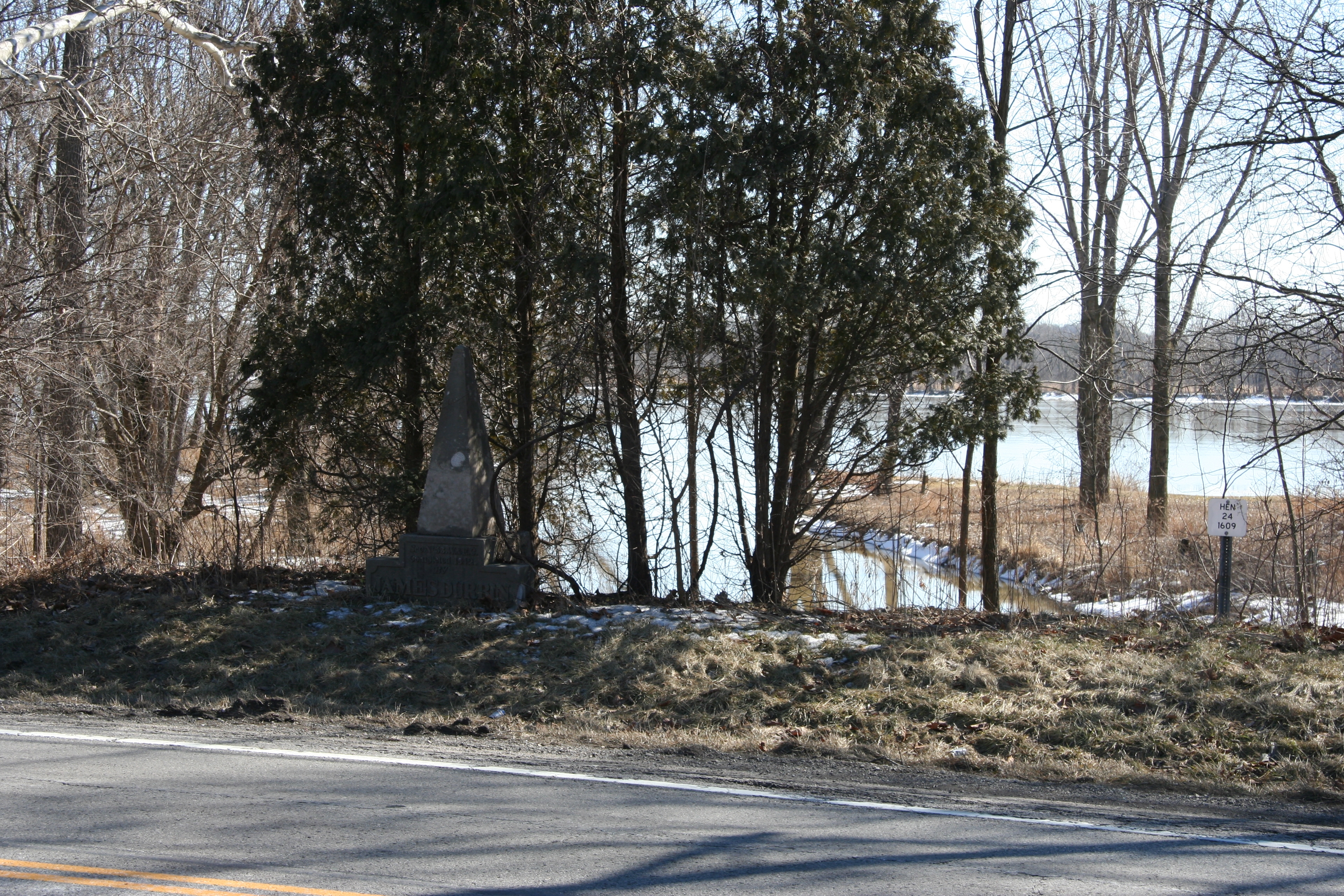
James Durbin Marker | Additional Description: View of historical marker situated in a small clump of trees along the south side of US 24. Behind the marker is a view of Bad Creek which flows under what use to be the old canal, but what is today US 24.
Submitted: March 14, 2010, by Dale K. Benington of Toledo, Ohio.
Database Locator Identification Number: p100440
File Size: 6.002 Megabytes
To see the metadata that may be embedded in this photo, sign in and then return to this page.