Photograph as originally submitted to
this page in the Historical Marker Database
www.HMdb.org.
Click on photo to resize in browser. Scroll down to see metadata.
Photographer: Craig Swain
Taken: November 10, 2007
Caption:
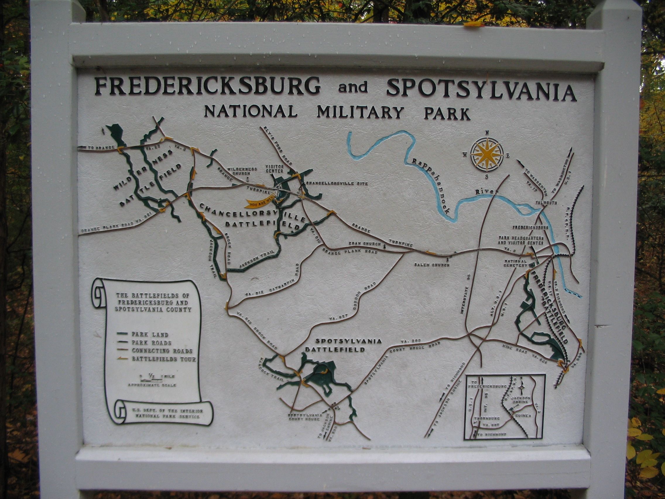
Battle Map and Park Tour Map | Additional Description: This map stands to the left of the marker at the edge of the parking lot. Place names important to the battle (and battles!) around Chancellorsville and Fredericksburg are highlighted on the map, overlayed with the locations preserved within the park. Of note, since this map was created, the park has expanded. Visitors are encouraged to get up to date information from the Visitors Center or on line at the Park Service web site.
Submitted: November 12, 2007, by Craig Swain of Leesburg, Virginia.
Database Locator Identification Number: p10054
File Size: 1.073 Megabytes
To see the metadata that may be embedded in this photo, sign in and then return to this page.