Photograph as originally submitted to
this page in the Historical Marker Database
www.HMdb.org.
Click on photo to resize in browser. Scroll down to see metadata.
Photographer: The Mayesville Story Marker
Caption:
The Mayesville Story Marker | Additional Description: [Map included]
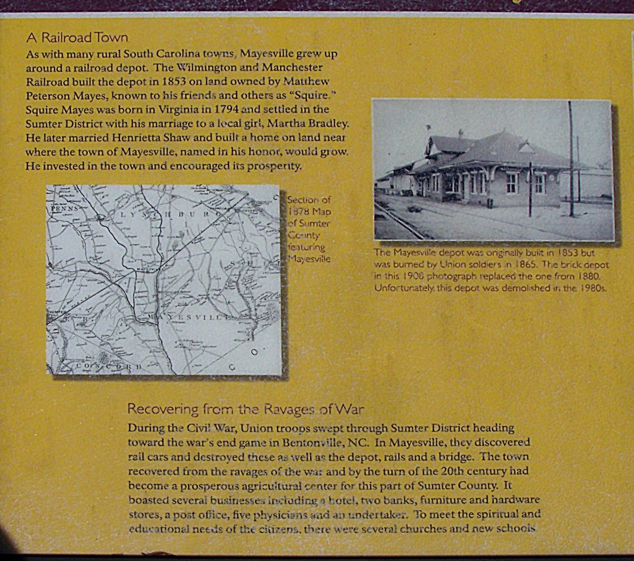
Section of 1878 map
of Sumter County
featuring
Mayesville.
(Center left photo)
The Mayesville depot was originally
built in 1853 but was burned by Union
soldiers in 1865. The brick depot in
this 1908 photograph replaced the one
from 1880. Unfortunately this depot was
demolished in the 1980s.
Submitted: April 3, 2010, by Mike Stroud of Bluffton, South Carolina.
Database Locator Identification Number: p103448
File Size: 0.324 Megabytes
To see the metadata that may be embedded in this photo, sign in and then return to this page.