Photograph as originally submitted to
this page in the Historical Marker Database
www.HMdb.org.
Click on photo to resize in browser. Scroll down to see metadata.
Photographer: Craig Swain
Taken: November 10, 2007
Caption:
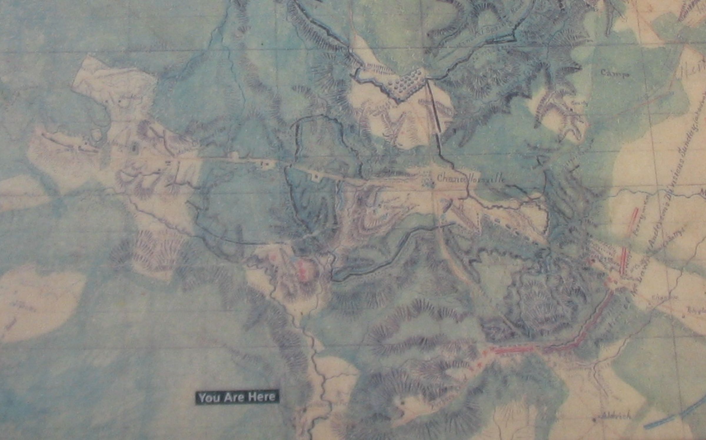
Detail of the Hotchkiss Map | Additional Description: Federal positions and entrenchments are outlined with the bold black lines surrounding Chancellorsville in the center. Red lines indicate Confederate positions. Areas wooded or covered by thickets at the time of the battle are colored green on the map.
Submitted: November 17, 2007, by Craig Swain of Leesburg, Virginia.
Database Locator Identification Number: p10364
File Size: 0.310 Megabytes
To see the metadata that may be embedded in this photo, sign in and then return to this page.