Photograph as originally submitted to
this page in the Historical Marker Database
www.HMdb.org.
Click on photo to resize in browser. Scroll down to see metadata.
Photographer: Paul Crumlish
Taken: April 2, 2010
Caption:
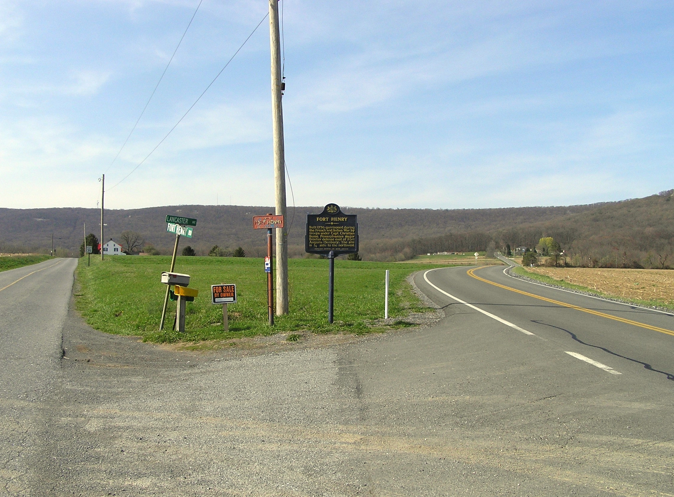
Wide view of the Fort Henry Marker | Additional Description: The Tulpehocken Path continues to the left of the sign to site of Fort Henry then up and over Blue Mountain (visible in the distance).
Submitted: April 6, 2010, by PaulwC3 of Northern, Virginia.
Database Locator Identification Number: p103835
File Size: 2.671 Megabytes
To see the metadata that may be embedded in this photo, sign in and then return to this page.