Photograph as originally submitted to
this page in the Historical Marker Database
www.HMdb.org.
Click on photo to resize in browser. Scroll down to see metadata.
Photographer: Craig Swain
Taken: May 6, 2007
Caption:
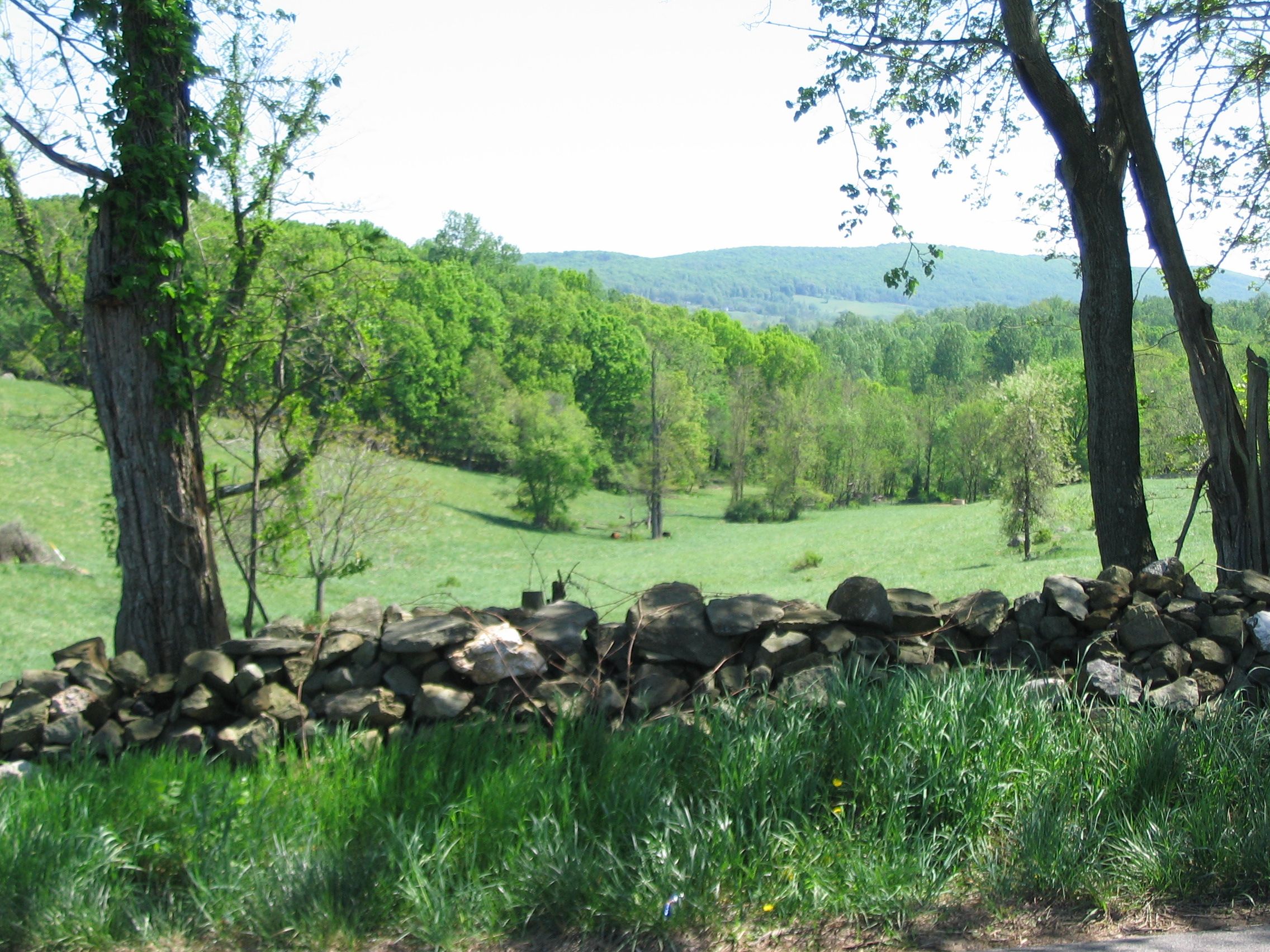
Loudoun Valley Pastures | Additional Description: This site along the old Snickers Gap Turnpike was the scene of fighting on June 17, 1863. It is typical of the terrain of Loudoun Valley with open pastures, rock walls, and narrow lanes.
Submitted: November 27, 2007, by Craig Swain of Leesburg, Virginia.
Database Locator Identification Number: p10746
File Size: 1.372 Megabytes
To see the metadata that may be embedded in this photo, sign in and then return to this page.