Photograph as originally submitted to
this page in the Historical Marker Database
www.HMdb.org.
Click on photo to resize in browser. Scroll down to see metadata.
Photographer: Craig Swain
Taken: May 2, 2010
Caption:
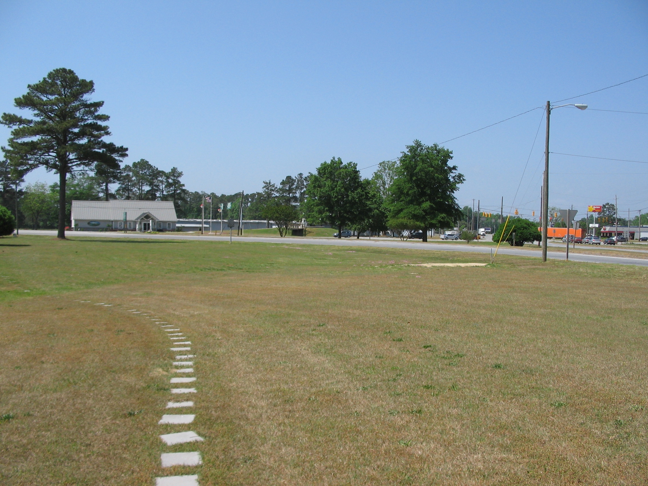
Confederate Line | Additional Description: Looking past the marker location at the intersection of US 70 and 258 near the county visitor center. After pressed back from a line along Southwest Creek, the Confederates fell back to a position along the Dover Road (Modern US 70). Facing strong Federal attacks, the Confederates withdrew again across the Neuse using Jones Bridge.
Submitted: May 9, 2010, by Craig Swain of Leesburg, Virginia.
Database Locator Identification Number: p107933
File Size: 1.159 Megabytes
To see the metadata that may be embedded in this photo, sign in and then return to this page.