Photograph as originally submitted to
this page in the Historical Marker Database
www.HMdb.org.
Click on photo to resize in browser. Scroll down to see metadata.
Taken: May 30, 2010
Caption:
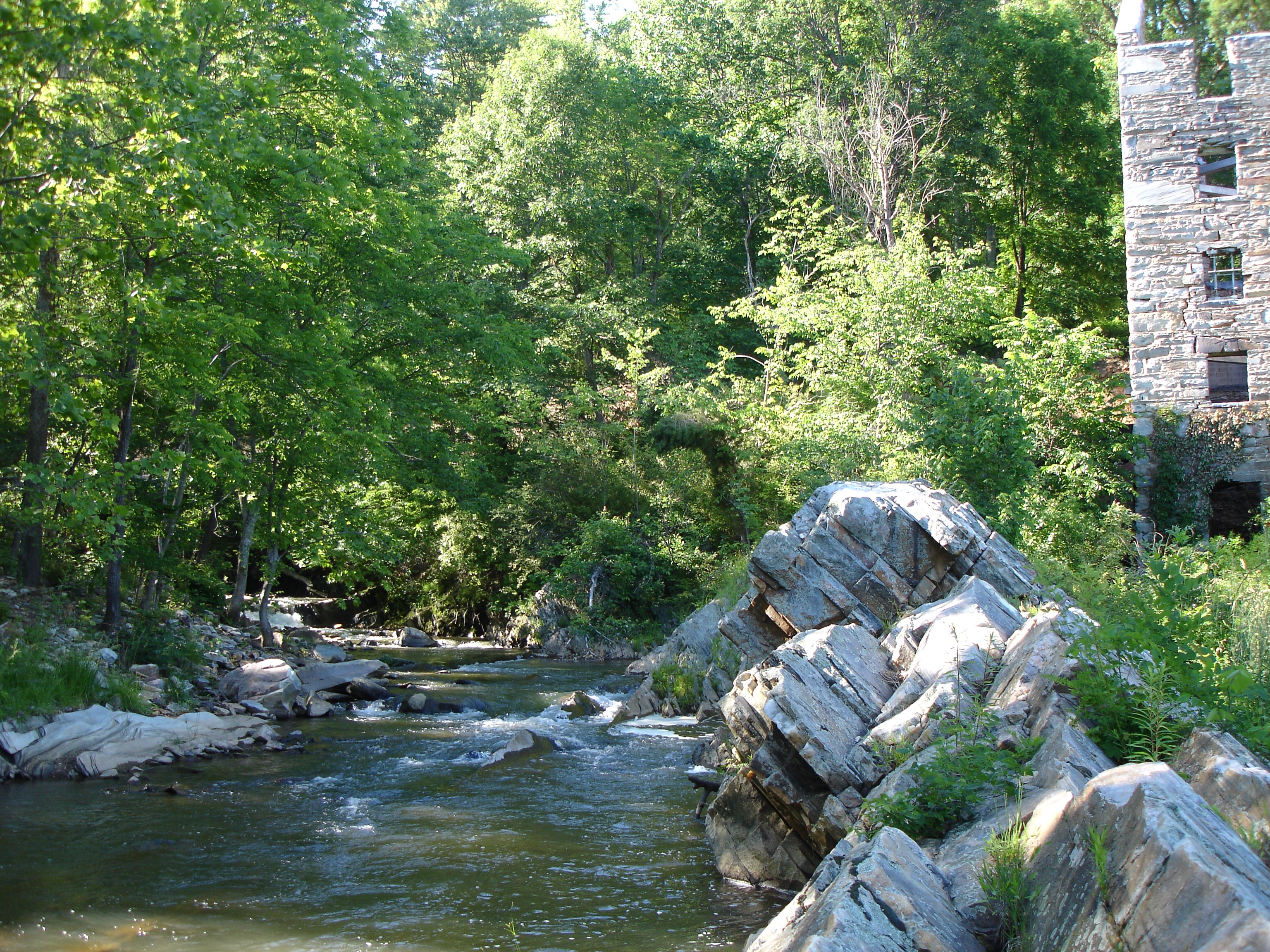
Broad Run | Additional Description: Broad Run drains upper Fauquier County, carved Thoroughfare Gap through Bull Run Mountain, and powered the mill as it flowed east with an 87 foot descent.
Submitted: May 30, 2010.
Database Locator Identification Number: p111142
File Size: 3.306 Megabytes
To see the metadata that may be embedded in this photo, sign in and then return to this page.