Photograph as originally submitted to
this page in the Historical Marker Database
www.HMdb.org.
Click on photo to resize in browser. Scroll down to see metadata.
Photographer: Craig Swain
Taken: November 10, 2007
Caption:
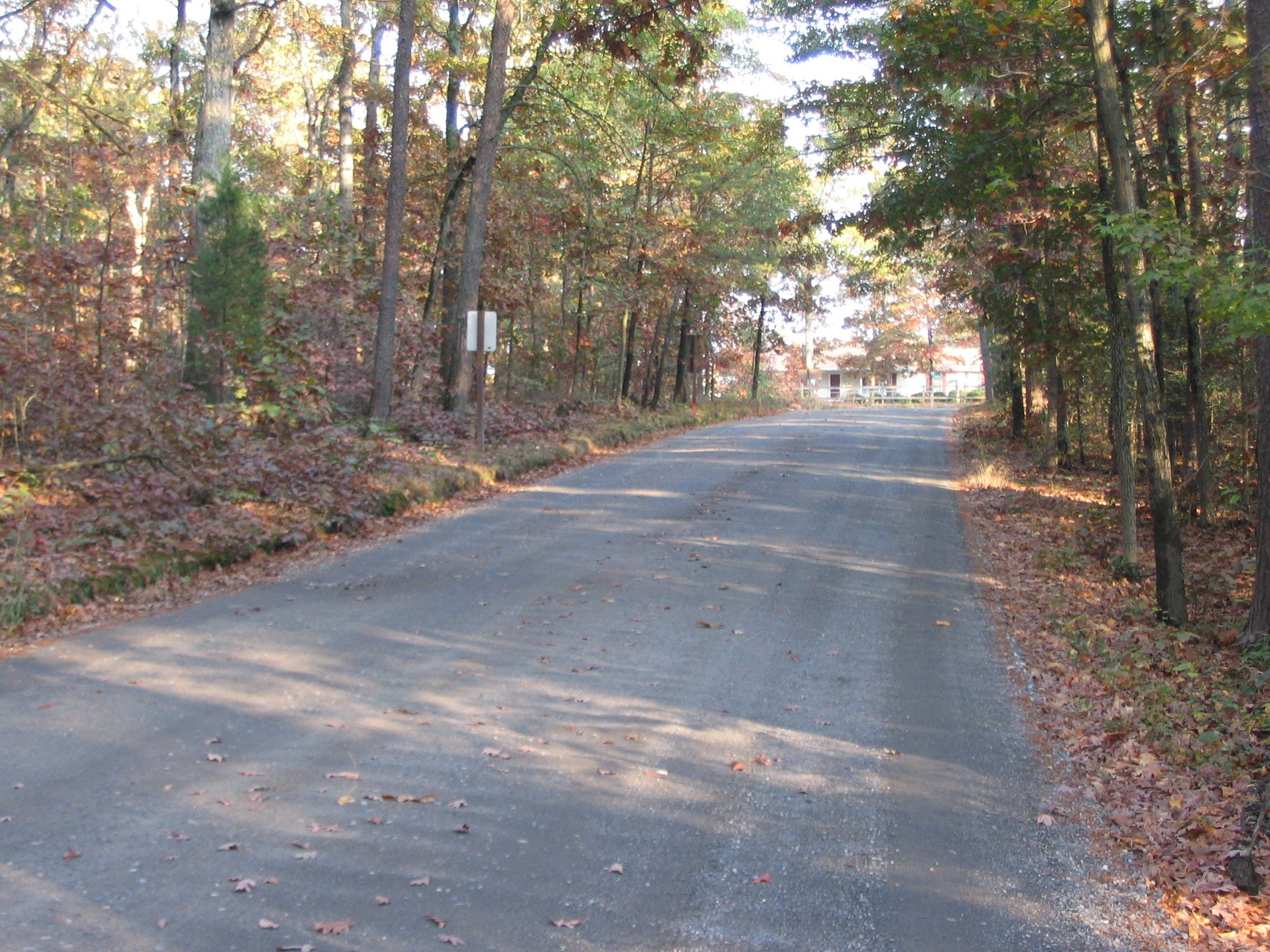
Brock Road Intersection | Additional Description: Looking back from the marker location to the Brock Road. To the left, north, some five to six miles away were the main Federal defenses. Signal stations and sentries were posted and could observe some of Jackson's movement. However at the time, much as it is today, the dense woods and undergrowth prevented all but fleeting glimpses of the line of march.
Submitted: December 2, 2007, by Craig Swain of Leesburg, Virginia.
Database Locator Identification Number: p11202
File Size: 1.462 Megabytes
To see the metadata that may be embedded in this photo, sign in and then return to this page.