Photograph as originally submitted to
this page in the Historical Marker Database
www.HMdb.org.
Click on photo to resize in browser. Scroll down to see metadata.
Photographer: Paul F
Taken: June 22, 2010
Caption:
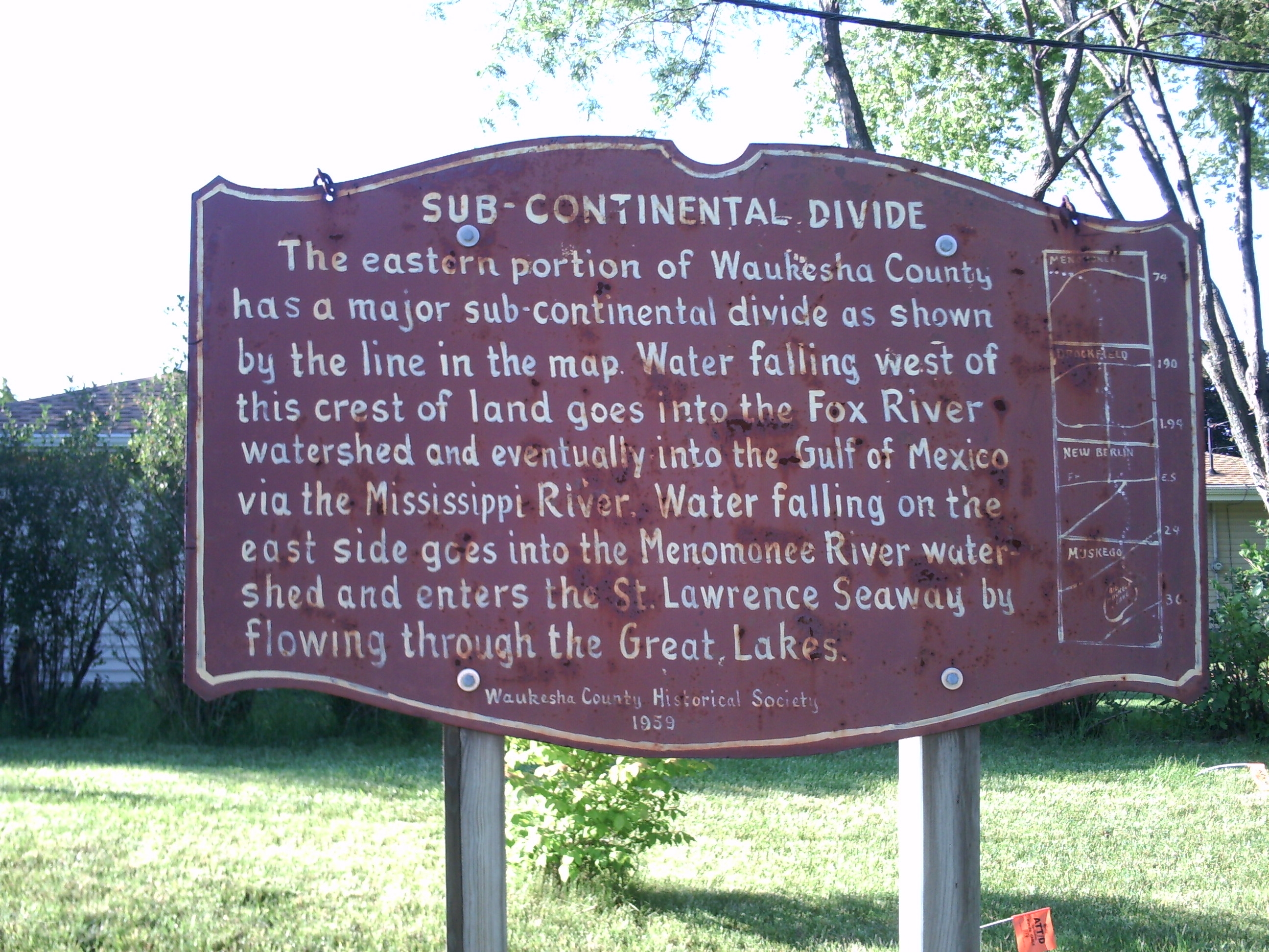
Original Sub-Continental Divide Marker | Additional Description: The original 1959 marker had the following text:
The eastern portion of Waukesha County has a major sub-continental divide as shown by the line in the map. Water falling west of this crest of land goes into the Fox River watershed and eventually into the Gulf of Mexico via the Mississippi River. Water falling on the east side goes into the Menomonee River watershed and enters the St. Lawrence Seaway by flowing through the Great Lakes.
Submitted: June 22, 2010, by Paul Fehrenbach of Germantown, Wisconsin.
Database Locator Identification Number: p114171
File Size: 1.275 Megabytes
To see the metadata that may be embedded in this photo, sign in and then return to this page.