Photograph as originally submitted to
this page in the Historical Marker Database
www.HMdb.org.
Click on photo to resize in browser. Scroll down to see metadata.
Taken: July 1, 2010
Caption:
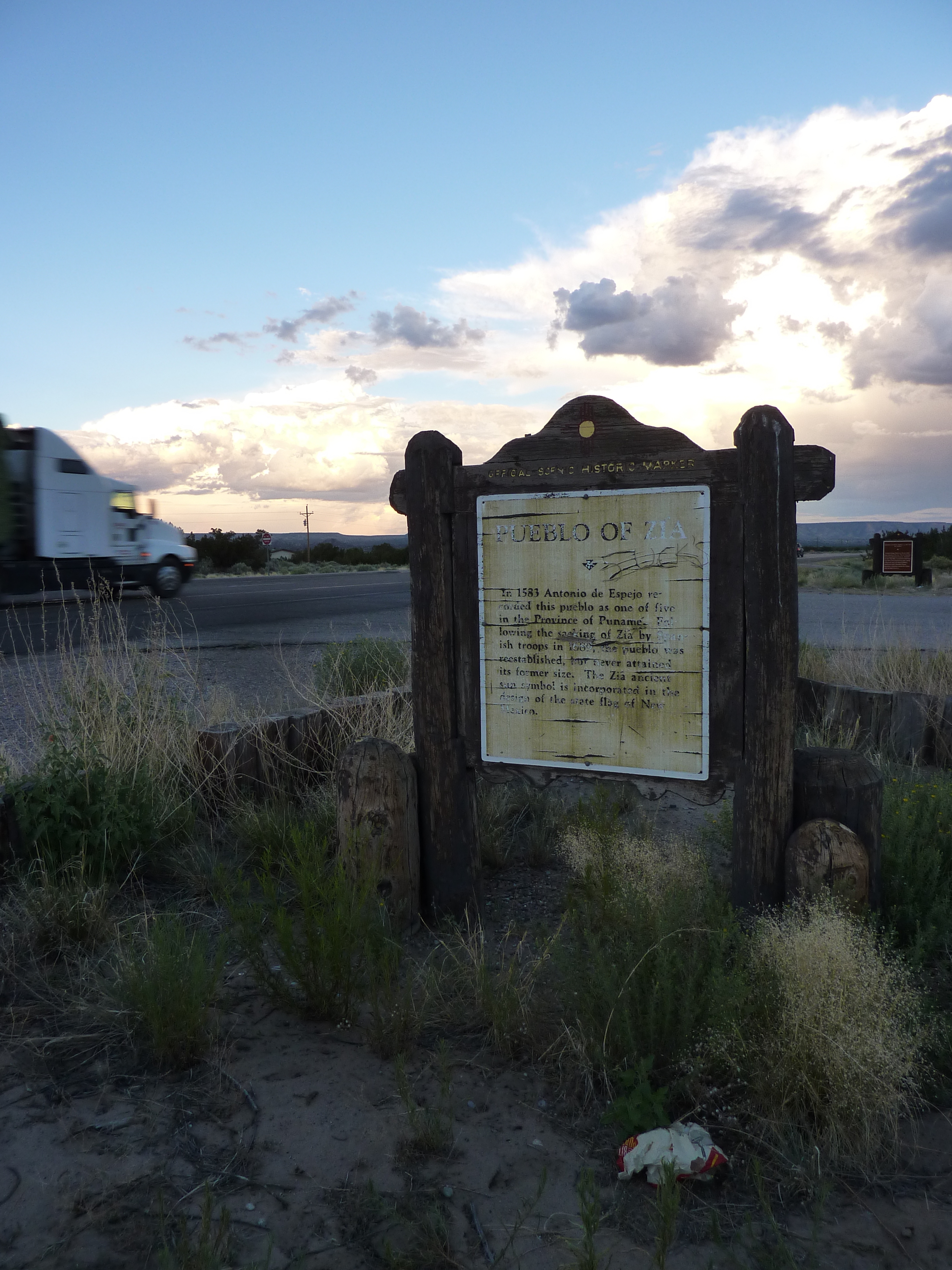
Pueblo of Zia Marker | Additional Description: View east of marker, U.S. 550 / N.M. Route 44. Trinidad Gachupin Medina Marker is visible in the background.
Submitted: July 10, 2010.
Database Locator Identification Number: p116823
File Size: 4.025 Megabytes
To see the metadata that may be embedded in this photo, sign in and then return to this page.