Photograph as originally submitted to
this page in the Historical Marker Database
www.HMdb.org.
Click on photo to resize in browser. Scroll down to see metadata.
Taken: July 1, 2010
Caption:
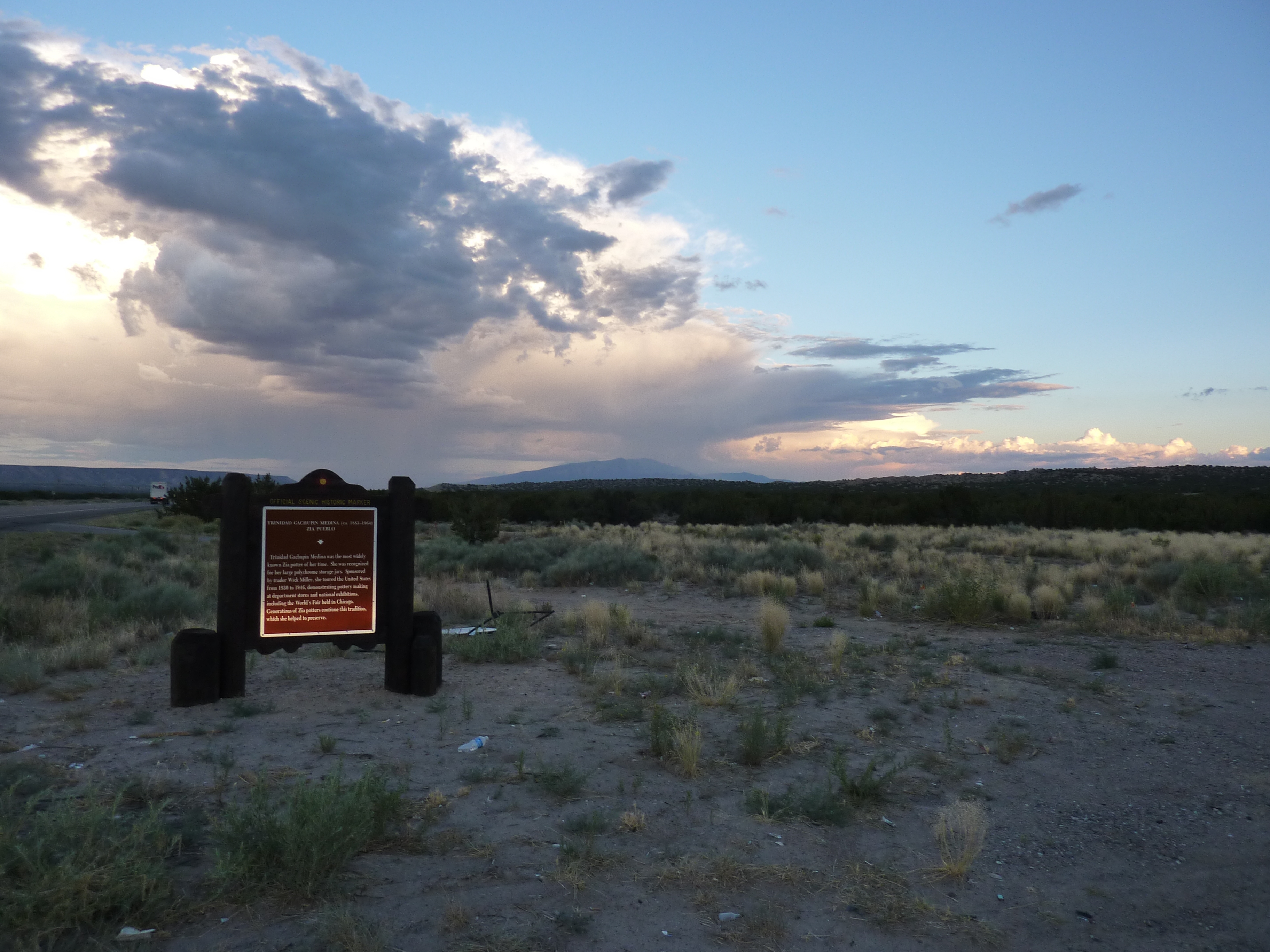
Trinidad Gachupin Medina (ca. 1883-1964) Marker | Additional Description: Looking east down U.S. 550 / N.M. 44 and the Jemez River drainage. Santa Ana Pueblo is approximately 8 miles northeast. Sandia Peak is on the horizon. The Jemez and Rio Grande Rivers meet at the north end of the Sandias, forming La Angostura (bottle neck), where the defensive settlement of Algodones was founded in the Spanish reconquesta of New Mexico after the 1680 Pueblo Revolt.
Submitted: July 10, 2010.
Database Locator Identification Number: p116828
File Size: 4.009 Megabytes
To see the metadata that may be embedded in this photo, sign in and then return to this page.