Photograph as originally submitted to
this page in the Historical Marker Database
www.HMdb.org.
Click on photo to resize in browser. Scroll down to see metadata.
Photographer:
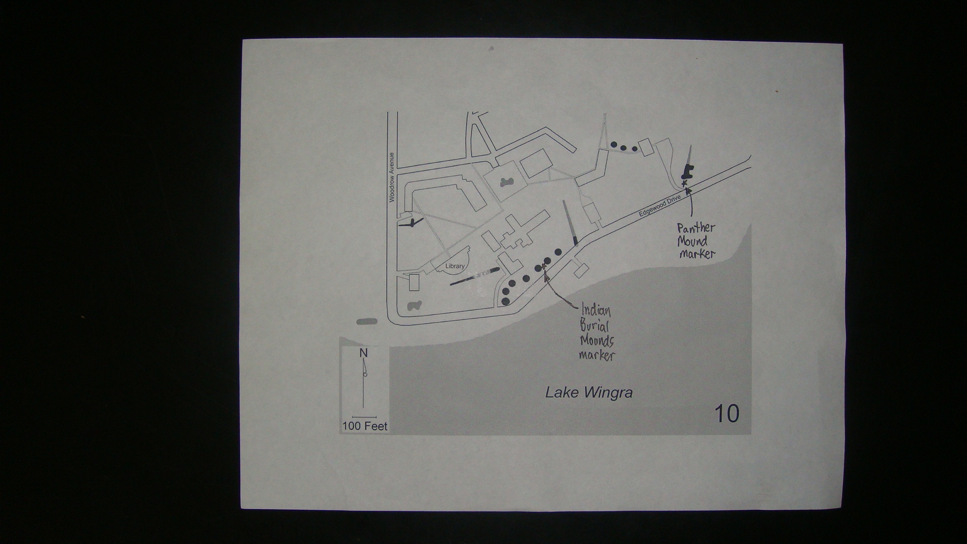
Native American Mounds in Madison and Dane CountyTaken: July 24, 2010
Caption:
Map of Panther Mound Marker Area | Additional Description: Black shading indicates existing mounds and grey shading indicates lost mounds.
Submitted: July 24, 2010, by William J. Toman of Green Lake, Wisconsin.
Database Locator Identification Number: p119223
File Size: 0.712 Megabytes
To see the metadata that may be embedded in this photo, sign in and then return to this page.