Photograph as originally submitted to
this page in the Historical Marker Database
www.HMdb.org.
Click on photo to resize in browser. Scroll down to see metadata.
Photographer: Craig Swain
Taken: December 1, 2007
Caption:
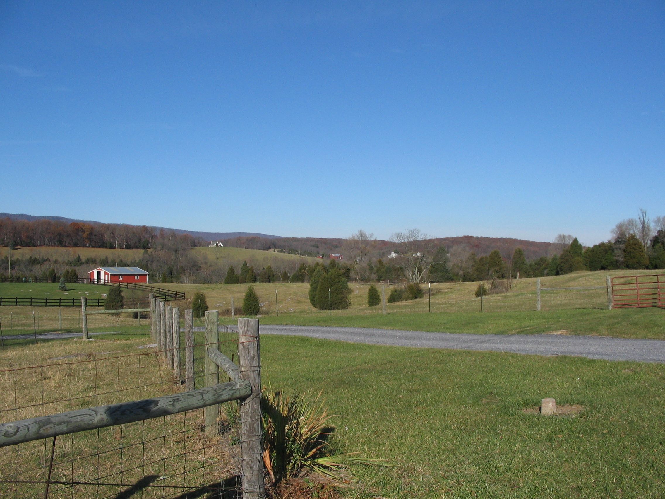
Confederate Defensive Line | Additional Description: Looking to the west from the marker, Confederate General John Pegram's division held the high ground in the distance overlooking the South Fork of Tumbling Run. In the valley below is Snapps Run which cut through the Confederate defenses at this point. The ground to the right, and astride the modern day Valley Pike (US 11) was held by General John B. Gordon's division.
Submitted: December 16, 2007, by Craig Swain of Leesburg, Virginia.
Database Locator Identification Number: p12041
File Size: 1.154 Megabytes
To see the metadata that may be embedded in this photo, sign in and then return to this page.