Photograph as originally submitted to
this page in the Historical Marker Database
www.HMdb.org.
Click on photo to resize in browser. Scroll down to see metadata.
Photographer: David Seibert
Taken: August 9, 2010
Caption:
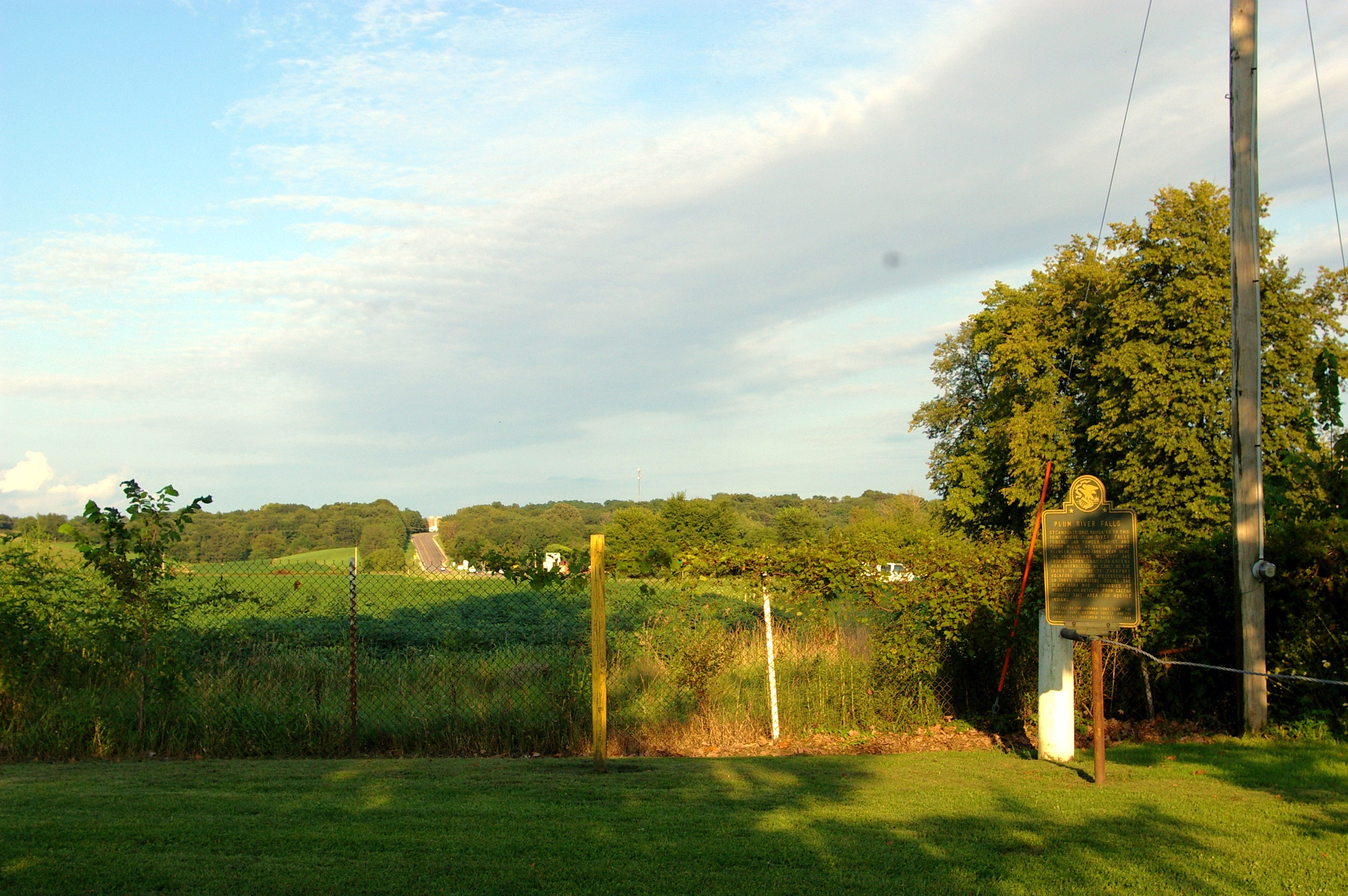
Plum River Falls Marker | Additional Description: Looking east: the highway in the distance is US 52 toward Mount Carroll
Submitted: August 10, 2010, by David Seibert of Sandy Springs, Georgia.
Database Locator Identification Number: p121978
File Size: 1.455 Megabytes
To see the metadata that may be embedded in this photo, sign in and then return to this page.