Photograph as originally submitted to
this page in the Historical Marker Database
www.HMdb.org.
Click on photo to resize in browser. Scroll down to see metadata.
Photographer: Paul Crumlish
Taken: August 1, 2010
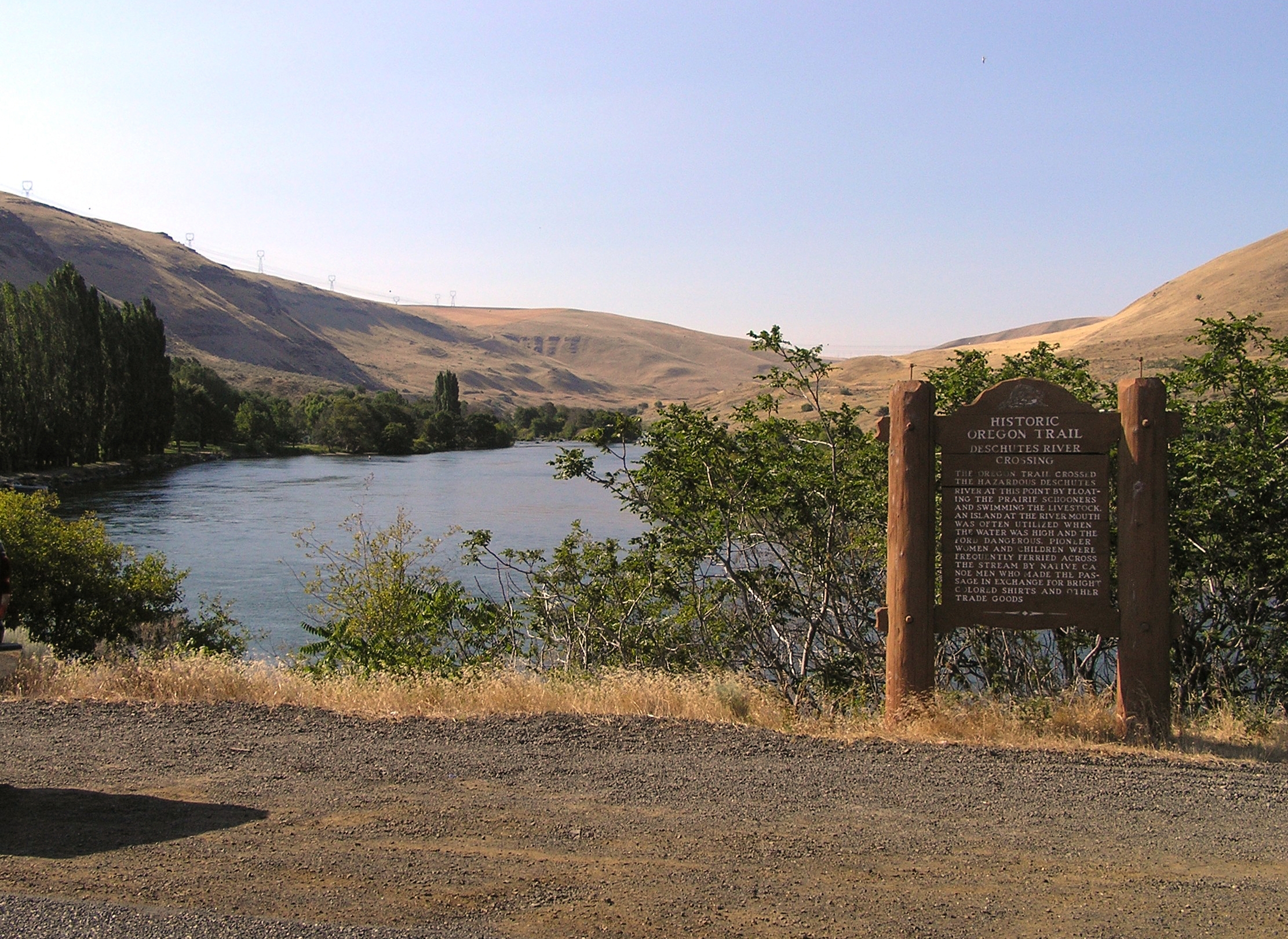
Caption:
Wide view of the Deschutes River Crossing Marker | Additional Description: Looking upstream across the primary stretch of river forded by settlers on the Oregon Trail. Today the area is now the Deschutes River State Recreation Area, on the eastern edge of the Columbia River Gorge National Scenic Area.
Submitted: August 19, 2010, by PaulwC3 of Northern, Virginia.
Database Locator Identification Number: p123259
File Size: 3.018 Megabytes
To see the metadata that may be embedded in this photo, sign in and then return to this page.