Photograph as originally submitted to
this page in the Historical Marker Database
www.HMdb.org.
Click on photo to resize in browser. Scroll down to see metadata.
Photographer: Craig Swain
Taken: August 27, 2010
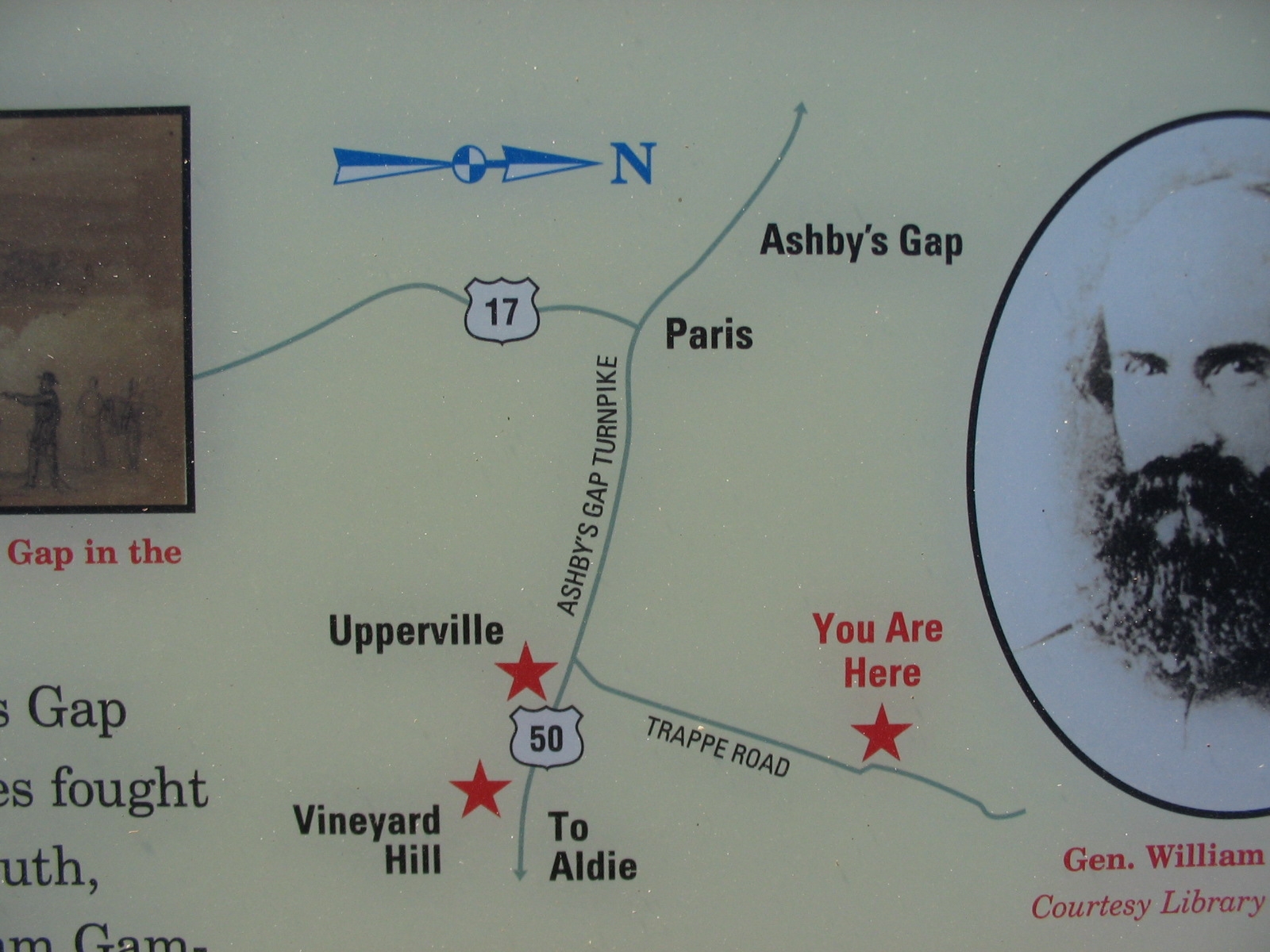
Caption:
Map in the Upper Right | Additional Description: Noting location of nearby Civil War trails sites. Note the north seeking arrow pointing to the right.
Submitted: August 28, 2010, by Craig Swain of Leesburg, Virginia.
Database Locator Identification Number: p125145
File Size: 0.406 Megabytes
To see the metadata that may be embedded in this photo, sign in and then return to this page.