Photograph as originally submitted to
this page in the Historical Marker Database
www.HMdb.org.
Click on photo to resize in browser. Scroll down to see metadata.
Photographer: Craig Swain
Taken: August 29, 2010
Caption:
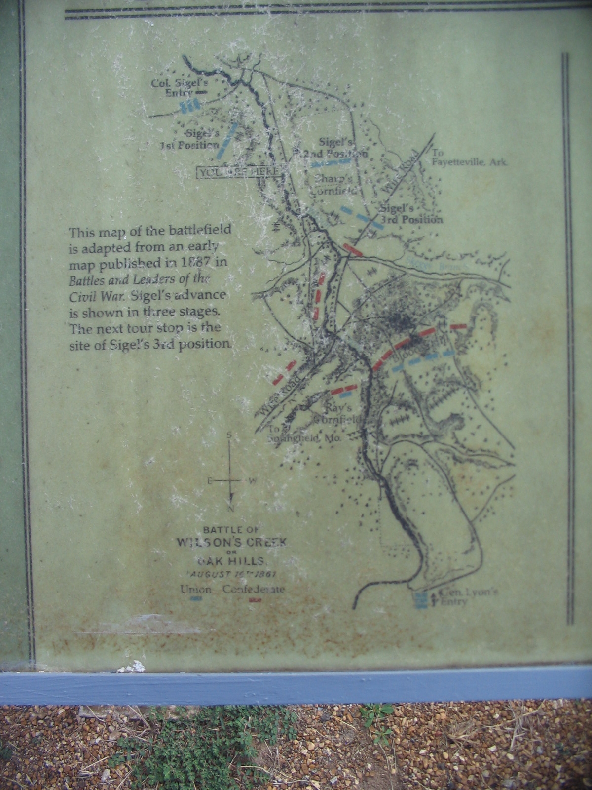
Sigel's Attack Map | Additional Description:
This map of the battlefield is adapted from an early map published in 1887 in Battles and Leaders of the Civil War. Sigel's advance is shown in three stages. The next tour stop is the site of Sigel's 3rd position.Submitted: September 2, 2010, by Craig Swain of Leesburg, Virginia.
Database Locator Identification Number: p125820
File Size: 0.558 Megabytes
To see the metadata that may be embedded in this photo, sign in and then return to this page.