Photograph as originally submitted to
this page in the Historical Marker Database
www.HMdb.org.
Click on photo to resize in browser. Scroll down to see metadata.
Photographer: Craig Swain
Taken: August 30, 2010
Caption:
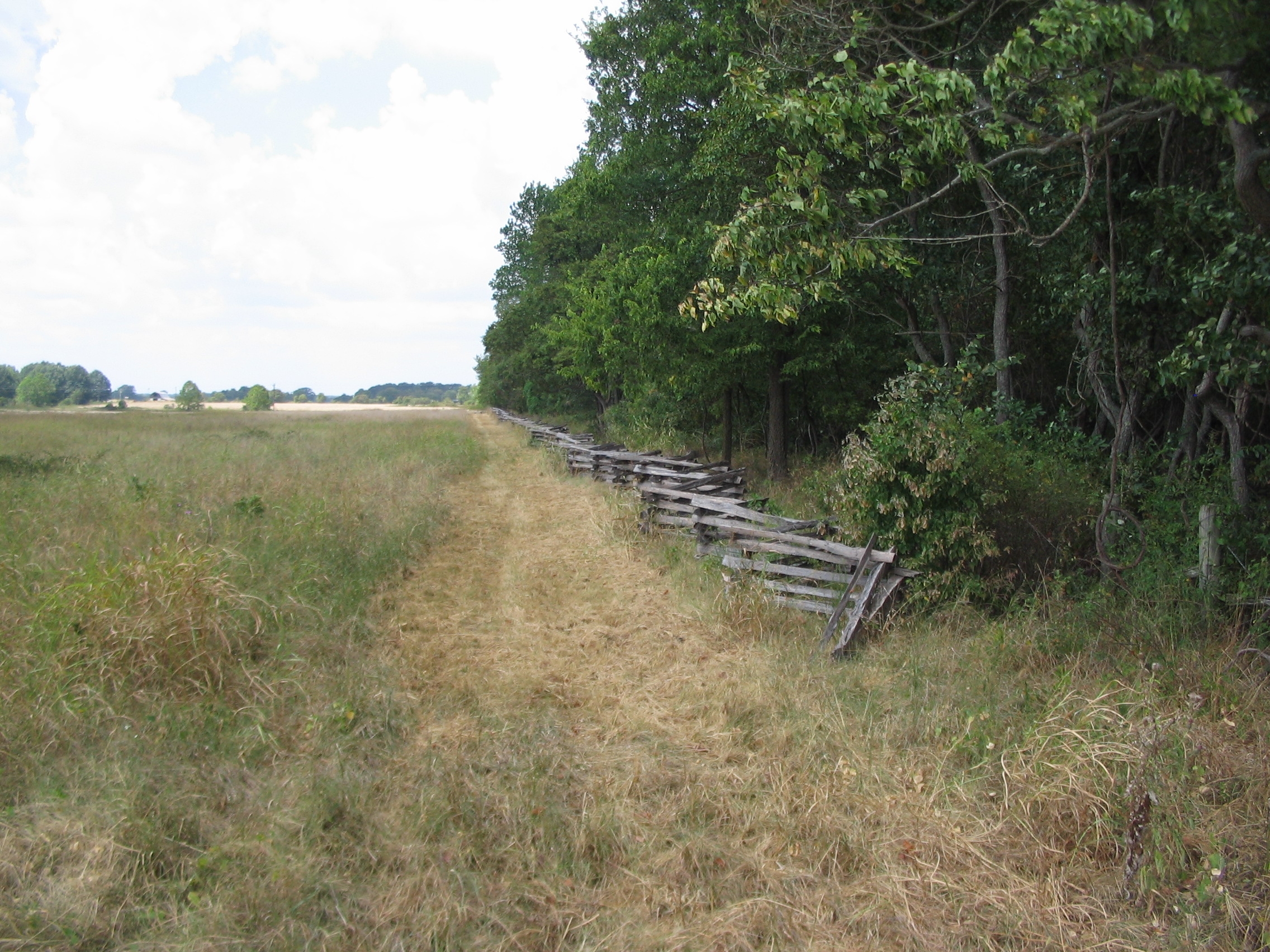
Area Where McCulloch Fell | Additional Description: Looking west from Arkansas Highway 72 on the north edge of the Lee/Mayfield/Oberson fields. McCulloch likely fell about 100 yards west of the highway just out of the tree line. Some accounts credit a Private from the 36th Illinois as killing McCulloch. Veterans marked the spot of McCulloch's and McIntosh's death with stone cairns. But those disappeared before the park was established.
Submitted: September 10, 2010, by Craig Swain of Leesburg, Virginia.
Database Locator Identification Number: p127139
File Size: 1.344 Megabytes
To see the metadata that may be embedded in this photo, sign in and then return to this page.