Photograph as originally submitted to
this page in the Historical Marker Database
www.HMdb.org.
Click on photo to resize in browser. Scroll down to see metadata.
Photographer: Craig Swain
Taken: August 30, 2010
Caption:
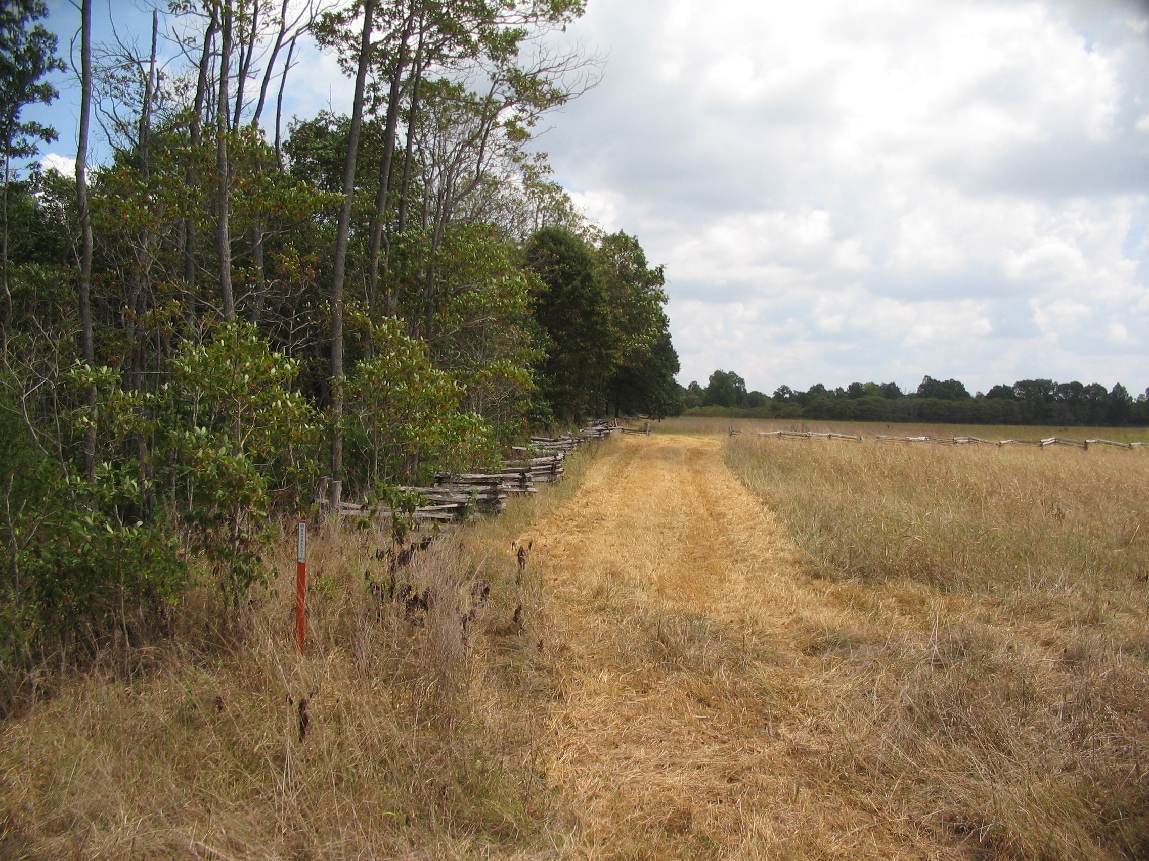
Area Where McIntosh Fell | Additional Description: Looking east from Arkansas Highway 72. McIntosh was killed instantly when emerging into the field at around 2:30 P.M., suffering a shot through the heart. The location was also marked with a stone cairn after the war, about 200 yards east of the highway. But the stones have disappeared.
Submitted: September 10, 2010, by Craig Swain of Leesburg, Virginia.
Database Locator Identification Number: p127140
File Size: 1.593 Megabytes
To see the metadata that may be embedded in this photo, sign in and then return to this page.