Photograph as originally submitted to
this page in the Historical Marker Database
www.HMdb.org.
Click on photo to resize in browser. Scroll down to see metadata.
Photographer: Craig Swain
Taken: December 22, 2007
Caption:
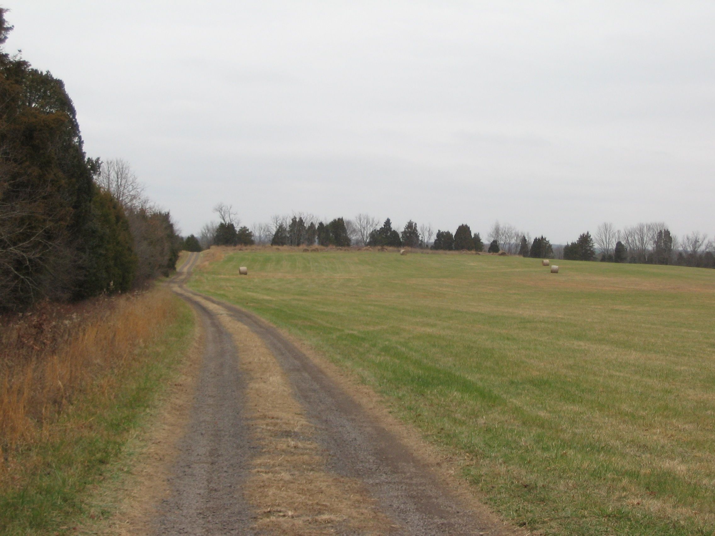
Looking North along the Farm Lane | Additional Description: Another view to the north, this along the farm lane. Where the lane crosses Ruffans Run, a bridge allows access to Buford's Knoll and the last set of wayside markers along the trail. The bridge, of course, was not in place at the time of the battle. Therefore, to some degree, the creek split the field of the north part of the battlefield into two separate fields, one here along Beverly Ford Road and the other to the north near what is now called Buford's Knoll.
Submitted: December 30, 2007, by Craig Swain of Leesburg, Virginia.
Database Locator Identification Number: p12764
File Size: 0.827 Megabytes
To see the metadata that may be embedded in this photo, sign in and then return to this page.