Photograph as originally submitted to
this page in the Historical Marker Database
www.HMdb.org.
Click on photo to resize in browser. Scroll down to see metadata.
Photographer: Craig Swain
Taken: September 5, 2010
Caption:
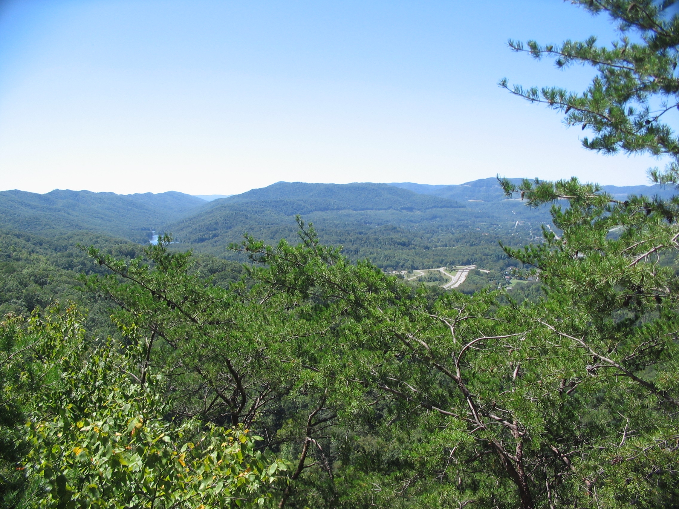
West Side of Cumberland Gap | Additional Description: Looking west from Fort McCook. The divided highway in the valley is US Highway 25E, passing through the Gap (just before entering a tunnel), near the park visitor center. To the left is Fern Lake.
Submitted: September 14, 2010, by Craig Swain of Leesburg, Virginia.
Database Locator Identification Number: p127796
File Size: 1.574 Megabytes
To see the metadata that may be embedded in this photo, sign in and then return to this page.