Photograph as originally submitted to
this page in the Historical Marker Database
www.HMdb.org.
Click on photo to resize in browser. Scroll down to see metadata.
Photographer: Craig Swain
Taken: December 22, 2007
Caption:
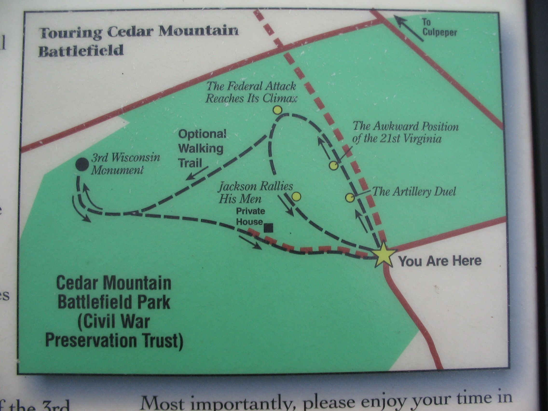
Trail Map | Additional Description: The start of the trail (indicated by the "you are here" star) is the approximate location of Crittenden Gate, at the bend in General Winder Road (CR 657). Note also the roadbed for the original Orange and Culpeper ran parallel to the modern day James Madison Highway (US. 15) at this point, and is shown with a dashed brown line on the map extending to the north (top of map). Crittenden Lane ran from the bend in the road, along modern CR 657, to the south towards Cedar Mountain.
Submitted: January 1, 2008, by Craig Swain of Leesburg, Virginia.
Database Locator Identification Number: p12892
File Size: 0.822 Megabytes
To see the metadata that may be embedded in this photo, sign in and then return to this page.