Photograph as originally submitted to
this page in the Historical Marker Database
www.HMdb.org.
Click on photo to resize in browser. Scroll down to see metadata.
Photographer: Craig Swain
Taken: December 22, 2007
Caption:
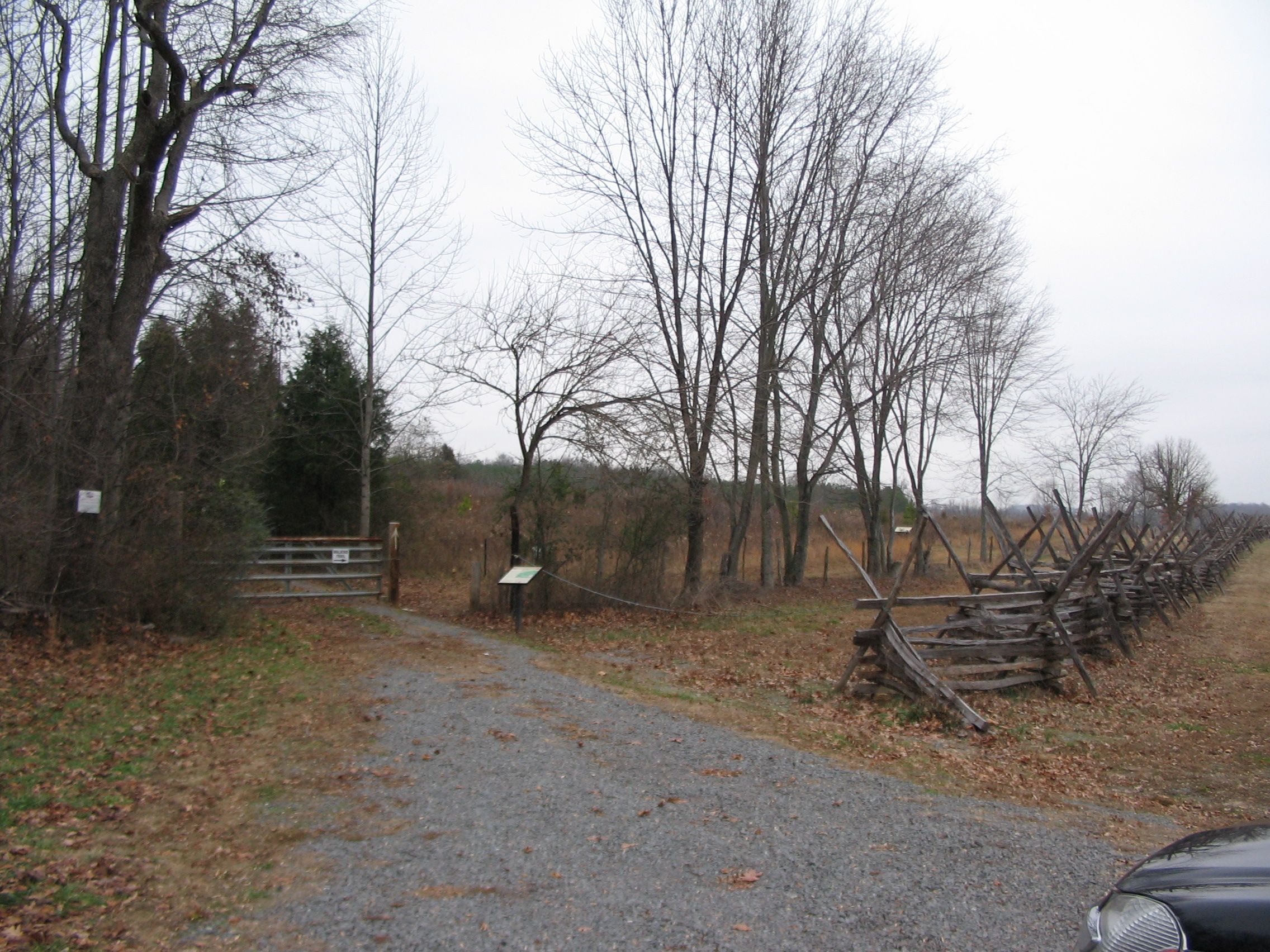
Location of Crittenden Gate | Additional Description: The trail head for the Cedar Mountain walking trail. The original path of the Orange and Culpeper Road is to the right of the snake-rail fence. Crawford's Federals broke through Confederate lines at this point, where disparate hand-to-hand fighting occurred. Jackson rallied the Confederates and prevented a full route, while General A.P. Hill's division arrived to reinforce the line.
Submitted: January 1, 2008, by Craig Swain of Leesburg, Virginia.
Database Locator Identification Number: p12893
File Size: 1.375 Megabytes
To see the metadata that may be embedded in this photo, sign in and then return to this page.