Photograph as originally submitted to
this page in the Historical Marker Database
www.HMdb.org.
Click on photo to resize in browser. Scroll down to see metadata.
Photographer: Craig Swain
Taken: December 22, 2007
Caption:
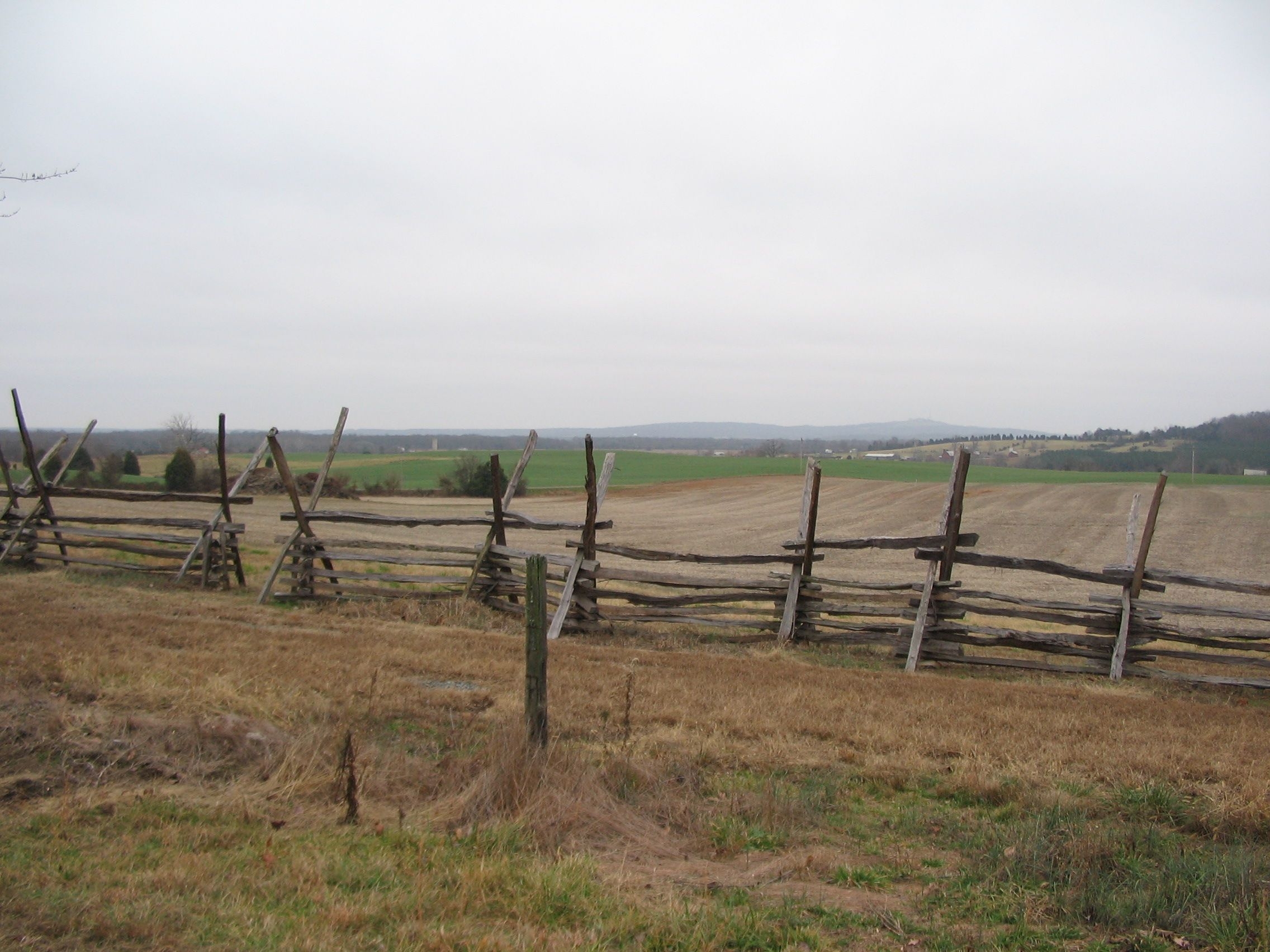
Looking Northeast to the Federal Lines | Additional Description: Some of the Federal artillery positions are visible from the marker location. Near the modern day grain silo in the distant center, runs Mitchell's Station Road (modern day CR 649) where Knap's, Roener's, Robinson's, and McGilvery's batteries were posted. The high ground near the silo is approximately McGilvery's position. The Federal artillery was at a disadvantage in elevation and was somewhat flanked by the Confederate artillery on the shelf of Cedar Mountain (seen on the right). The range between the artillery positions was around 1000 yards.
Submitted: January 1, 2008, by Craig Swain of Leesburg, Virginia.
Database Locator Identification Number: p12895
File Size: 0.892 Megabytes
To see the metadata that may be embedded in this photo, sign in and then return to this page.