Photograph as originally submitted to
this page in the Historical Marker Database
www.HMdb.org.
Click on photo to resize in browser. Scroll down to see metadata.
Photographer: Craig Swain
Taken: December 22, 2007
Caption:
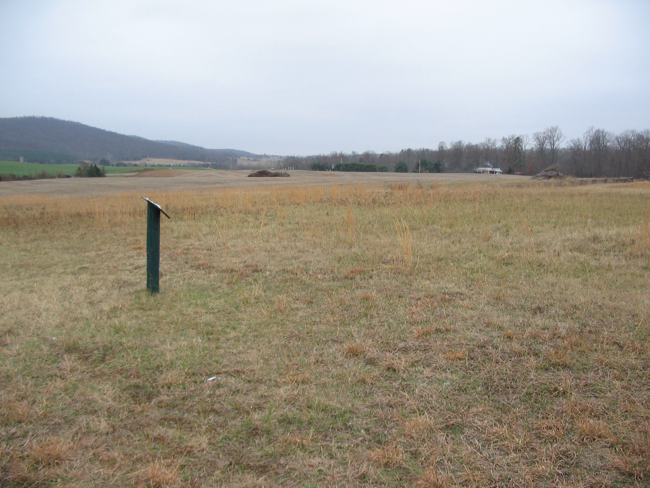
Center Stage of the Battle | Additional Description: Much of the battle occurred within this view from the third stop on the walking trail. To the left is Cedar Mountain. Running up the treeline in the center distance is the Crittenden Lane (modern General Winder Road, CR 657). Where the snake rail fence on the right reaches the road was Crittenden Gate, a point hotly contested in the later phases of the battle. The low ground extending from the center out to the left was the corn field Augur's Division marched through to attack the Confederate lines.
Submitted: January 1, 2008, by Craig Swain of Leesburg, Virginia.
Database Locator Identification Number: p12916
File Size: 1.191 Megabytes
To see the metadata that may be embedded in this photo, sign in and then return to this page.