Photograph as originally submitted to
this page in the Historical Marker Database
www.HMdb.org.
Click on photo to resize in browser. Scroll down to see metadata.
Photographer: David Seibert
Taken: September 18, 2010
Caption:
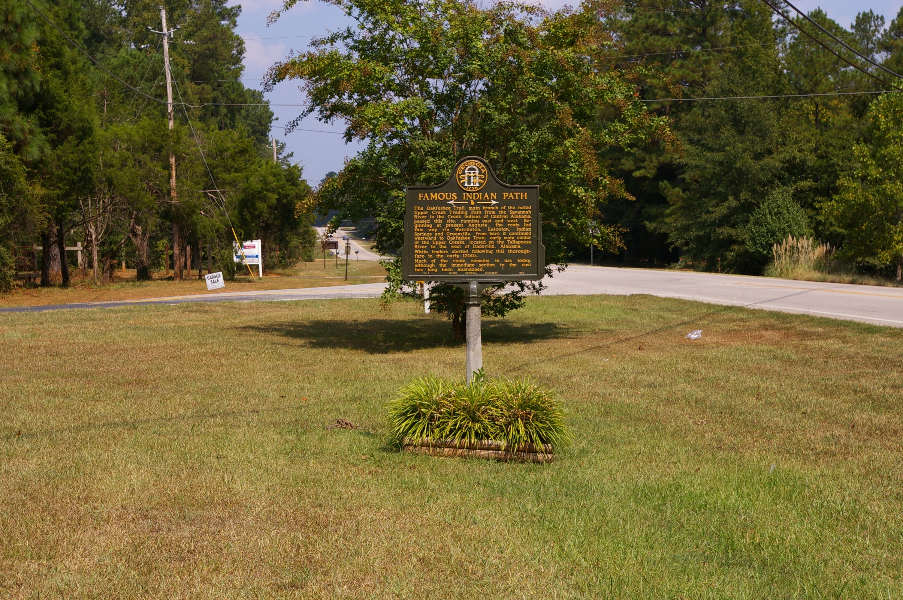
Famous Indian Path Marker | Additional Description: Looking east toward LaGrange; West Point Road (US 29) is on the right, and Upper Glass Bridge Road on the left.
Submitted: September 25, 2010, by David Seibert of Sandy Springs, Georgia.
Database Locator Identification Number: p129470
File Size: 4.427 Megabytes
To see the metadata that may be embedded in this photo, sign in and then return to this page.