Photograph as originally submitted to
this page in the Historical Marker Database
www.HMdb.org.
Click on photo to resize in browser. Scroll down to see metadata.
Photographer: Bernard Fisher
Taken: October 17, 2010
Caption:
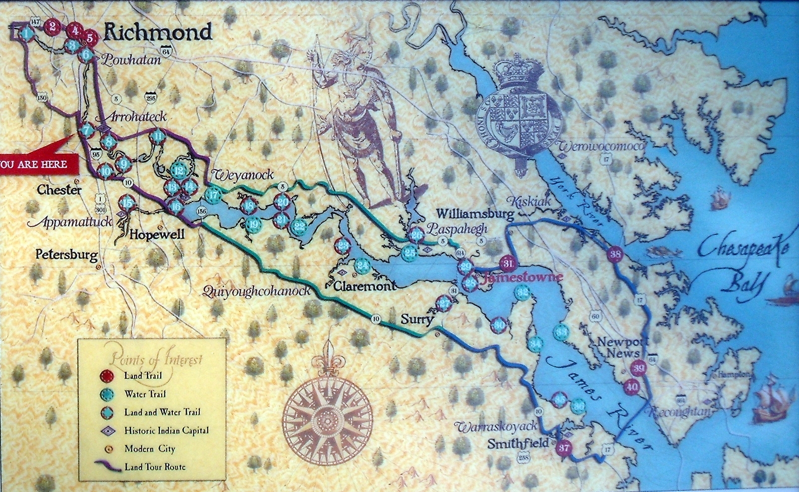
Map of Captian John Smith’s Trail | Additional Description: Capt. John Smith’s Trail on the James is a 40-site water trail and auto tour for modern explorers.
Submitted: October 18, 2010, by Bernard Fisher of Richmond, Virginia.
Database Locator Identification Number: p132795
File Size: 1.084 Megabytes
To see the metadata that may be embedded in this photo, sign in and then return to this page.