Photograph as originally submitted to
this page in the Historical Marker Database
www.HMdb.org.
Click on photo to resize in browser. Scroll down to see metadata.
Photographer: David Seibert
Taken: October 11, 2010
Caption:
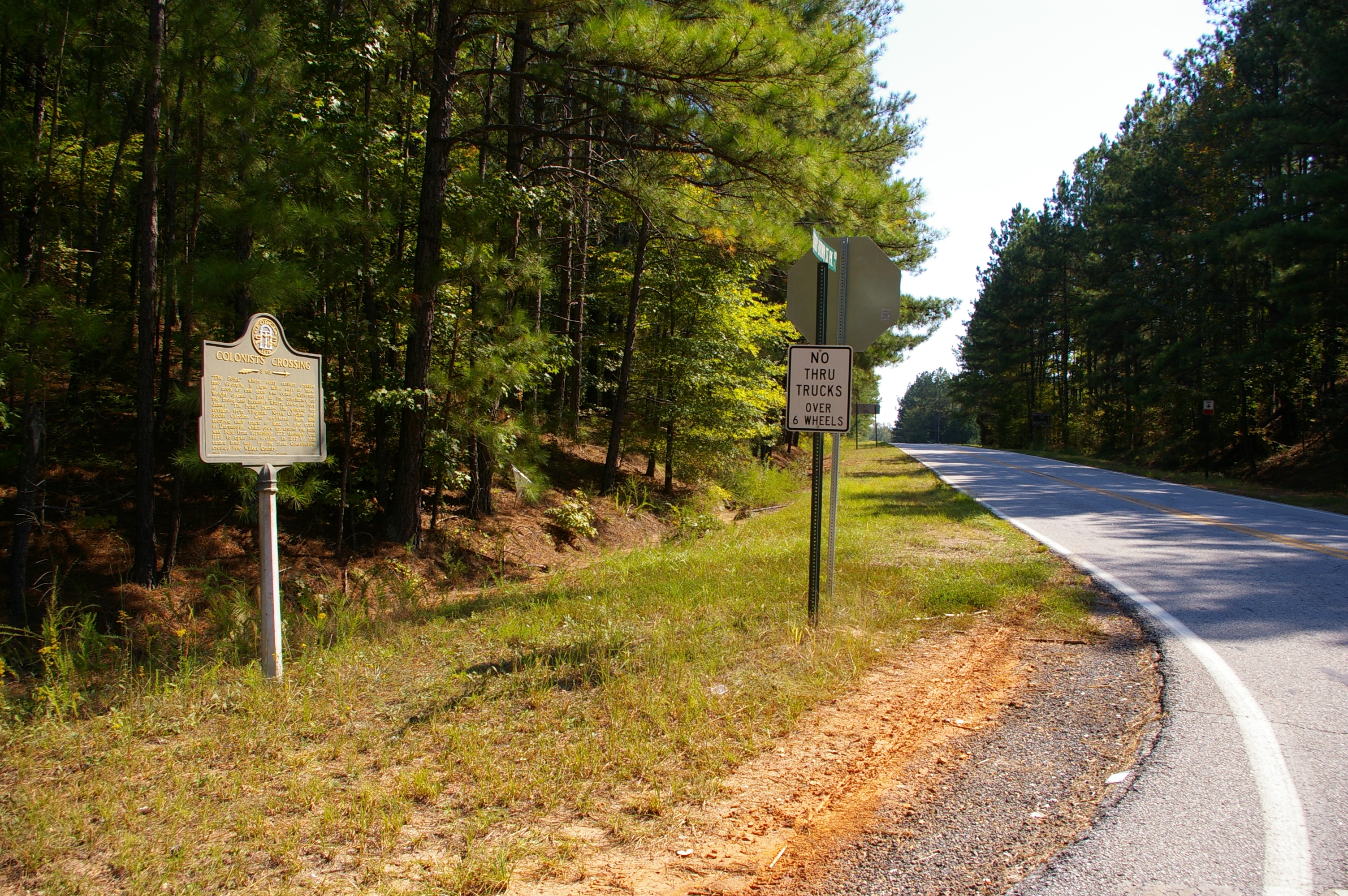
Colonists’ Crossing Marker | Additional Description: Looking southeast on Bobby Brown State Park Road toward the park, the Russell Dam, the site of "The Point," and the site of the colonial town of Petersburg.
Submitted: October 18, 2010, by David Seibert of Sandy Springs, Georgia.
Database Locator Identification Number: p132860
File Size: 4.519 Megabytes
To see the metadata that may be embedded in this photo, sign in and then return to this page.