Photograph as originally submitted to
this page in the Historical Marker Database
www.HMdb.org.
Click on photo to resize in browser. Scroll down to see metadata.
Photographer: Craig Swain
Taken: September 4, 2010
Caption:
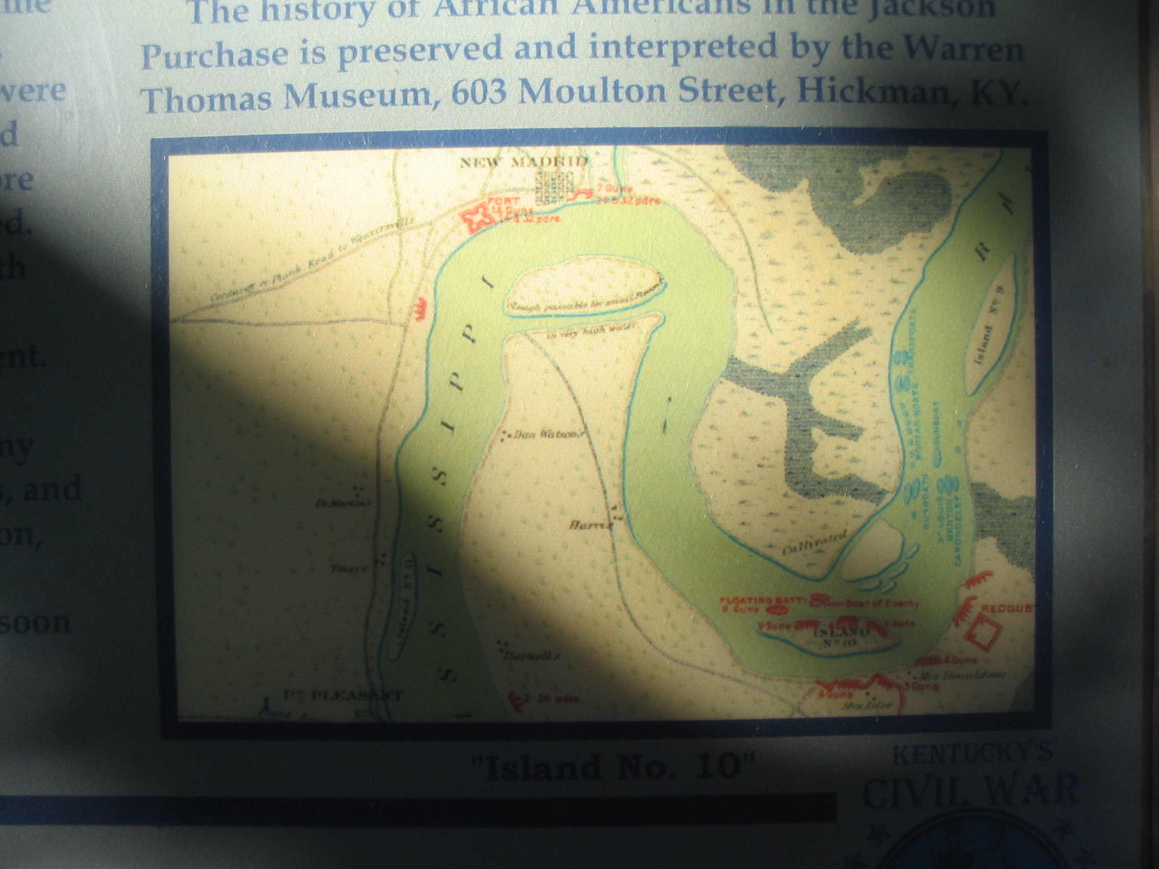
Wartime Map of the Island No. 10 Area | Submitted: October 26, 2010, by Craig Swain of Leesburg, Virginia.
Database Locator Identification Number: p133750
File Size: 0.892 Megabytes
To see the metadata that may be embedded in this photo, sign in and then return to this page.