Photograph as originally submitted to
this page in the Historical Marker Database
www.HMdb.org.
Click on photo to resize in browser. Scroll down to see metadata.
Photographer: Michael Herrick
Taken: October 24, 2010
Caption:
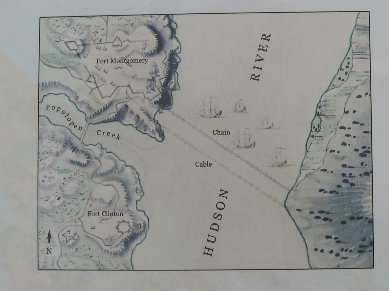
Detail from the Marker | Additional Description: A plan of the Forts Montgomery and Clinton, by Major Holland, Surveyor General of the Northern District of North America, ca. 1777. The map shows the forts, the chain, and the small fleet of American ships that defended the Hudson when the British attacked. In July 1777, cables from the two American frigates were run across the river in front of the chain to help protect it. Library of Congress, Geography and map Division.
Submitted: October 30, 2010, by Michael Herrick of Southbury, Connecticut.
Database Locator Identification Number: p134125
File Size: 0.189 Megabytes
To see the metadata that may be embedded in this photo, sign in and then return to this page.