Photograph as originally submitted to
this page in the Historical Marker Database
www.HMdb.org.
Click on photo to resize in browser. Scroll down to see metadata.
Photographer: Dale K. Benington
Taken: November 12, 2010
Caption:
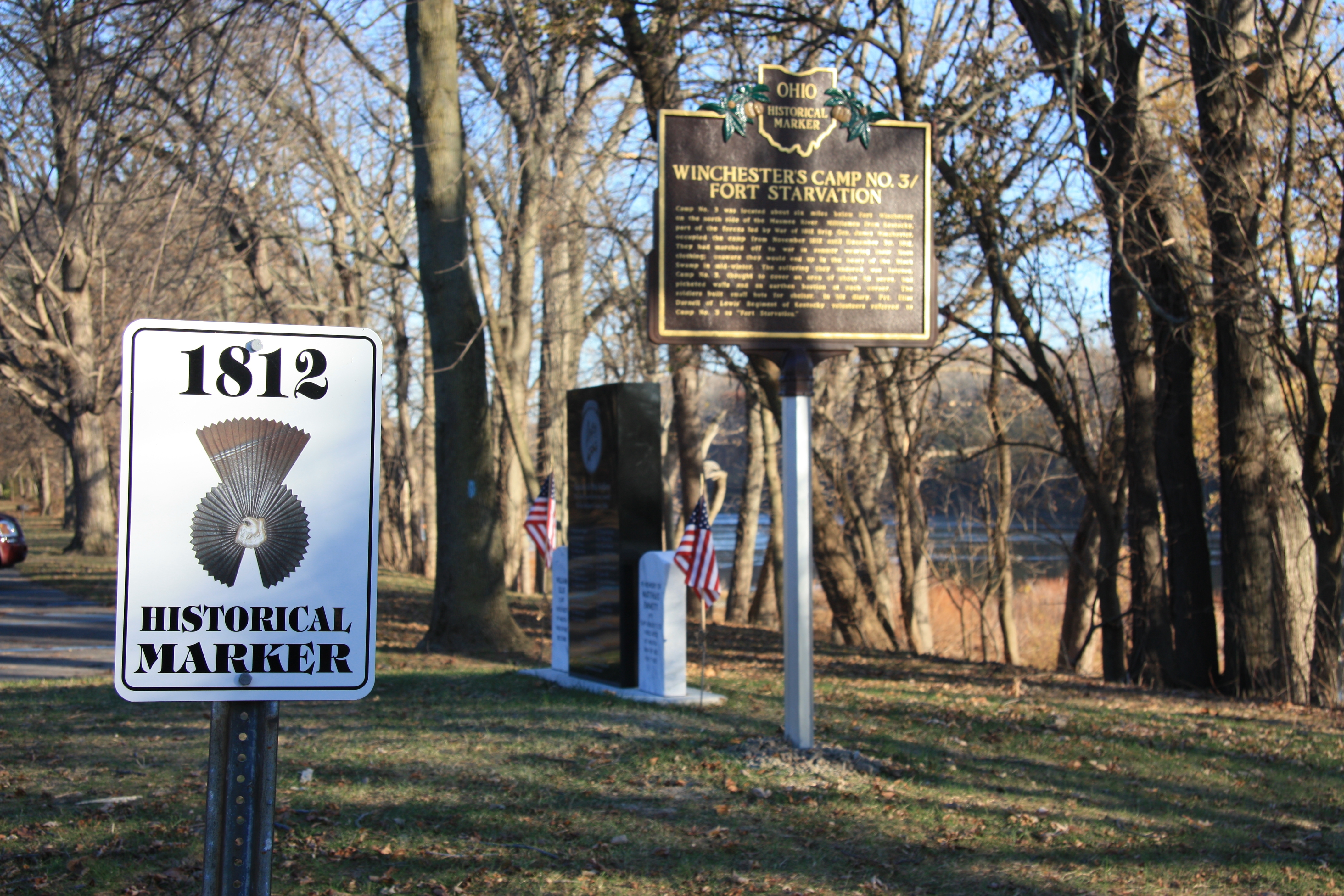
Winchester's Camp No. 3/Fort Starvation / The Old Kentucky Burial Grounds Marker | Additional Description: View looking east of historical marker with road marker sign in left foreground and soldiers memorial stone along with two gravestones in the background. In the distant background is the Maumee River.
Submitted: November 14, 2010, by Dale K. Benington of Toledo, Ohio.
Database Locator Identification Number: p136413
File Size: 4.726 Megabytes
To see the metadata that may be embedded in this photo, sign in and then return to this page.