Photograph as originally submitted to
this page in the Historical Marker Database
www.HMdb.org.
Click on photo to resize in browser. Scroll down to see metadata.
Photographer: Dale K. Benington
Taken: November 12, 2010
Caption:
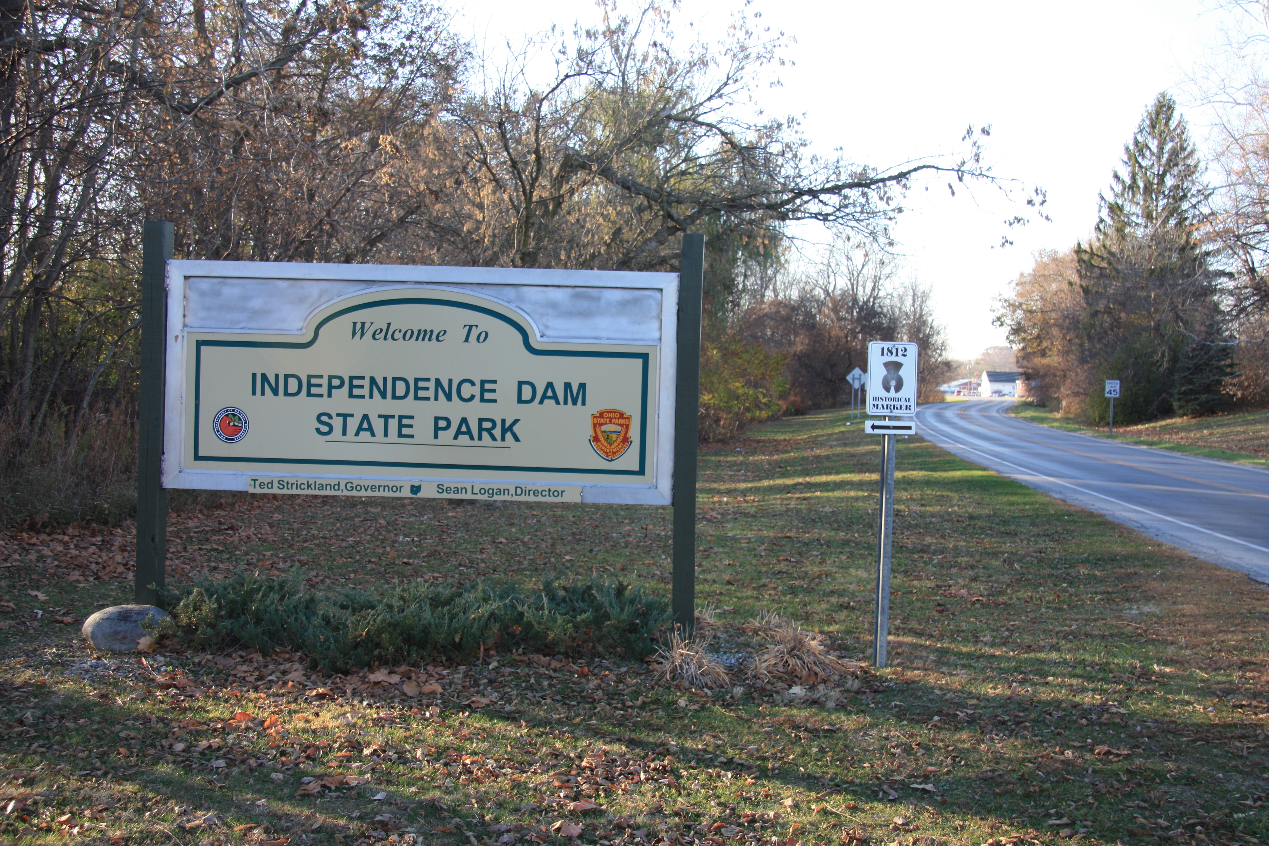
Winchester's Camp No. 3/Fort Starvation / The Old Kentucky Burial Grounds Marker | Additional Description: View of the Independence Dam State Park sign that is located at the entrance to the park, just off of State Route 242. The historical marker is 1.1 miles beyond the entrance.
Submitted: November 15, 2010, by Dale K. Benington of Toledo, Ohio.
Database Locator Identification Number: p136515
File Size: 6.233 Megabytes
To see the metadata that may be embedded in this photo, sign in and then return to this page.