Photograph as originally submitted to
this page in the Historical Marker Database
www.HMdb.org.
Click on photo to resize in browser. Scroll down to see metadata.
Photographer: Dale K. Benington
Taken: July 7, 2010
Caption:
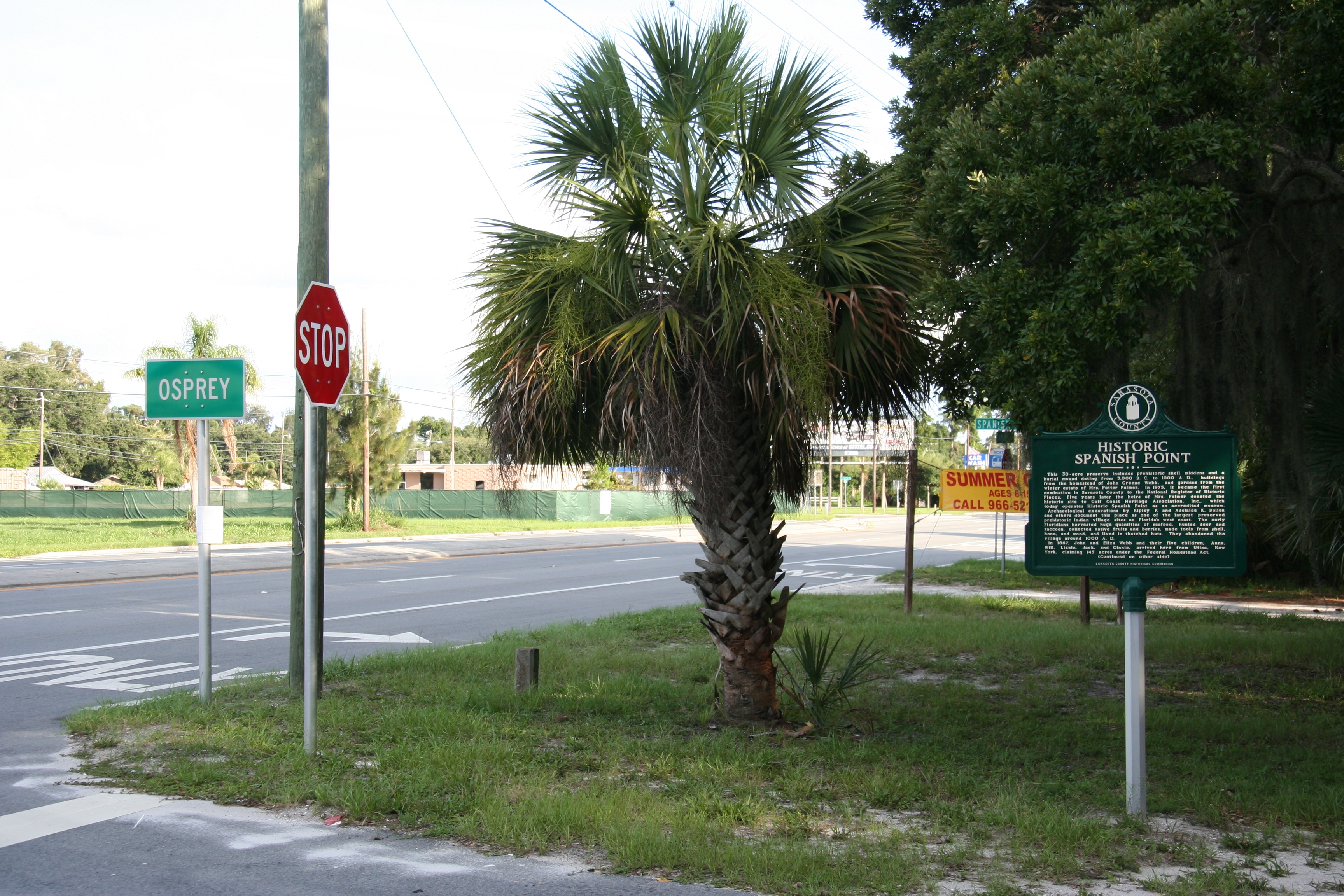
Historic Spanish Point Marker | Additional Description: View looking south of the Tamiami Trail and Spanish Point Road intersection, with the Osprey village limit sign in the left of the picture and the historical marker in the right of the picture.
Submitted: November 23, 2010, by Dale K. Benington of Toledo, Ohio.
Database Locator Identification Number: p137796
File Size: 4.027 Megabytes
To see the metadata that may be embedded in this photo, sign in and then return to this page.