Photograph as originally submitted to
this page in the Historical Marker Database
www.HMdb.org.
Click on photo to resize in browser. Scroll down to see metadata.
Photographer: Craig Swain
Taken: January 12, 2008
Caption:
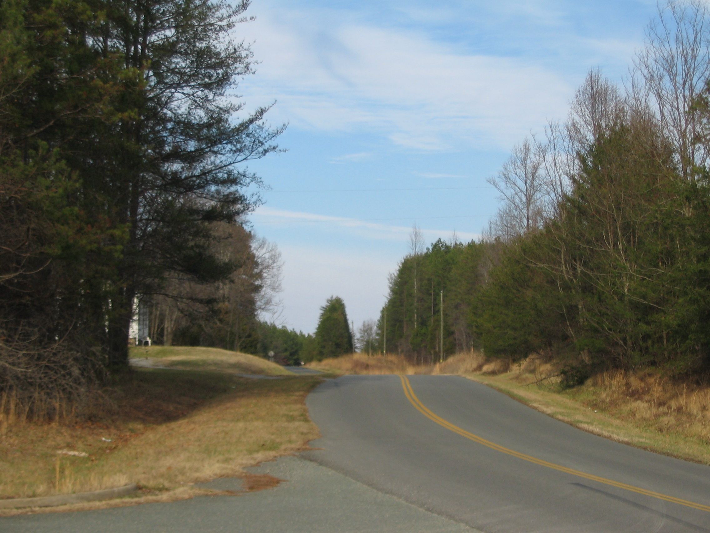
Marquis Road | Additional Description: Looking north from the marker location down what is today Ellisville Drive, the road crosses typical rolling terrain of Virginia's Piedmont. Custer's command camped just north of here, and advanced down the road initially to make contact with Wickham's Virginians.
Submitted: January 20, 2008, by Craig Swain of Leesburg, Virginia.
Database Locator Identification Number: p14210
File Size: 0.912 Megabytes
To see the metadata that may be embedded in this photo, sign in and then return to this page.